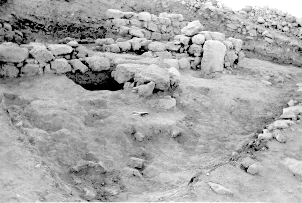
Locus F.6M90.029
General Information
Locus Type:
Installation
Supervisor:
T. Wehtje
Designation:
Cobble surface between Wall 25 & the base of Wall 5
Reason:
Flat-lying cobbles
Top Separation:
Bottom Separation:
Start Date:
04 Aug, 1989
End Date:
04 Aug, 1989
Interpretation
Function:
Perhaps a road between Wall 25 of a domestic structure & Wall 21, perhaps some sort of retaining wall during the MB period
Stratigraphy remarks:
L 26 dates this surface to MB; runs up to Wall 25 dating that wall also to MB; this surface, running to the foundation of Wall 5, seems to date Wall 21 to MB as well, which is consistent with the readings from L 27 below & E of Wall 21
Balk:
Phase:
Stratum :
Installation Description
Type
Certain:
Pavement
Probable:
Possible 1:
Possible 2:
Material
Limestone Qualifier 1:
Limestone Qualifier 2:
Limestone Percent:
0
Bedrock Qualifier 1:
Bedrock Qualifier 2:
Bedrock Percent:
0
Ceramic Qualifier 1:
Ceramic Qualifier 2:
Ceramic Percent:
0
Mud Qualifier 1:
Mud Qualifier 2:
Mud Percent:
Mudbrick Qualifier 1:
Mudbrick Qualifier 2:
Mudbrick Percent:
Nari Qualifier 1:
Nari Qualifier 2:
Nari Percent:
0
Plaster Qualifier 1:
Plaster Qualifier 2:
Plaster Percent:
0
Earth Qualifier 1:
Earth Qualifier 2:
Earth Percent:
0
Stone Qualifier 1:
Hard
Stone Qualifier 2:
Stone Percent:
100
Plan
Type:
Quality 1:
Quality 2:
Remarks:
Lining
Lining:
None
Measurements
Greatest Length in meters:
1.4
Greatest width in meters:
0.8
Smallest width in meters:
0.6
Greatest Height in meters:
0
Lowest Height in meters:
0
Orientation (degrees):
0
Remarks
Remarks:
Levels
| Location | Top Level | Bottom Level |
|---|---|---|
| 8 | 903.43 | 0 |
| 9 | 903.53 | 0 |
Stratigraphy
| Under | Earth layer | F6M90:026 |
| Seals against | Wall | F6M90:025 |
| Seals against | Wall | F6M90:021 |
Pails
| Number | Date | Baskets | Total | Diagnostic | Published |
|---|
Photos
| Date | Photo Number | Subject | Photo |
|---|---|---|---|
| 04 Aug, 1989 | 89F99447 | Final |
|