Locus F.6L98.049
Earth · Rubbly fill
General Information
Interpretation
Earth Description
Color
Munsell Number:
10YR 6/4
Texture
Texture:
Loam-Silt loam
Particle Shape A %:
0
Particle Shape AS %:
0
Particle Shape SR %:
50
Particle Shape R %:
50
Consistence
Hardness:
Very Loose
Compactness Description 1:
Loose
Compactness Degree 1:
moderately
Compactness Description 2:
Compactness Degree 2:
Wetness Description:
Moist
Wetness Degree:
moderately
Structure:
Random
Measurements
Length:
2.63
Width:
1.64
Upper Depth:
0
Lower Depth:
0
Downslope Direction:
0
Degree of Slope:
0
Surface Material
Surface Material:
Laminated Surface:
0
Stone Inclusions
Pebbles (2mm-6cm)/bskt:
400
Cobbles (6 - 25cm)/bskt:
0
Boulders (25 cm+)/bskt:
6
Stone Distribution:
Random
Earth Inclusions
Nari Frequency (per m2):
3
Nari Size (in m):
0.04
Brick Frequency (per m2):
0
Brick Size (in m):
0
Pebble Frequency (per m2):
0
Pebble Size (in m):
0
Ash Frequency (per m2):
3
Ash Size (in m):
0.03
Earth Distribution:
Random
Artifact Inclusions
Pottery Frequency:
Flint Frequency:
Glass Totals:
0
Tesserae Totals:
0
Tabun Fragments:
0
Brick Fragments:
0
Roof Tiles:
0
Worked Stones:
0
Burned Stones:
Unfired Clay:
Arch. Fragments:
Artifact Distribution:
Organic Inclusions
Bone Frequency:
0
Olive Pits per basket:
2
Burned Wood per basket:
3
Burnt Wood Avg Size in cm:
UD per basket:
0
UD SAvg Size in cm:
0
Distribution:
Random
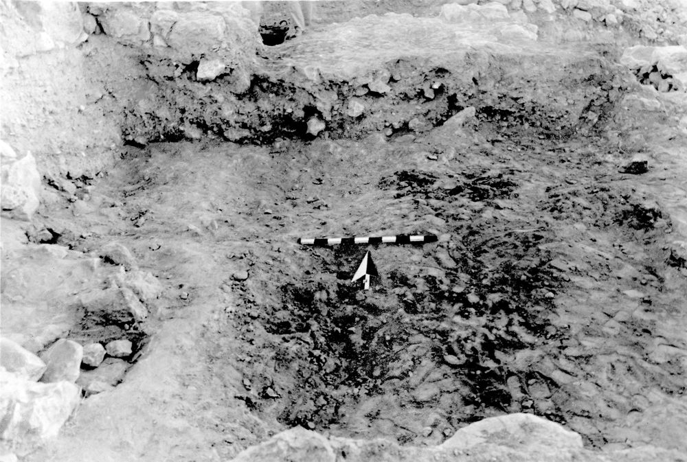
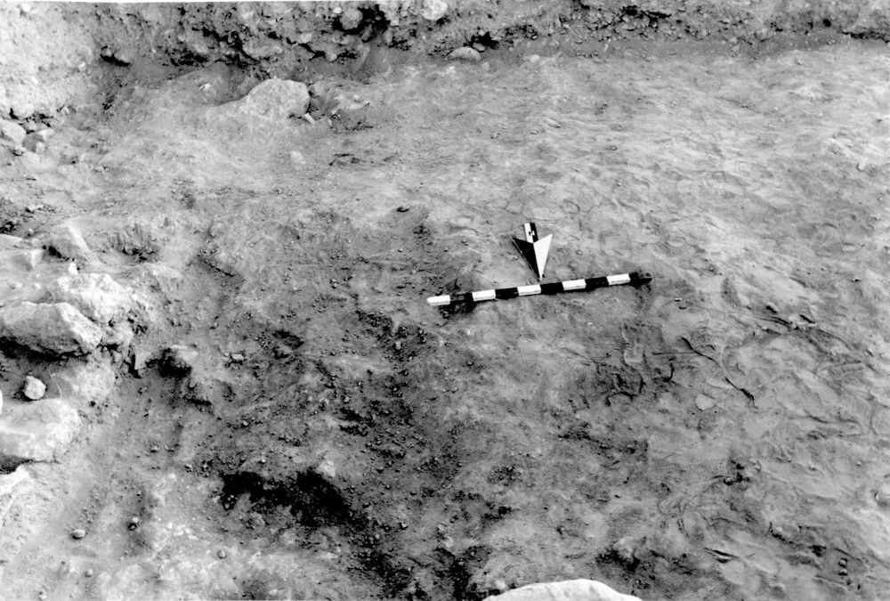
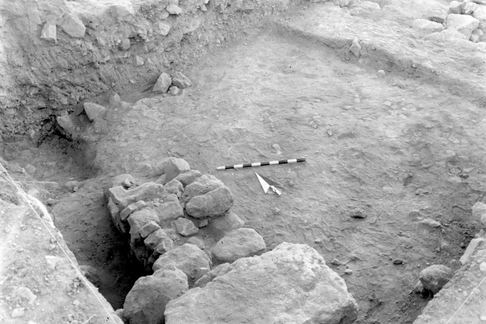
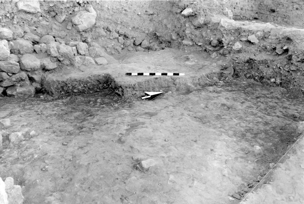
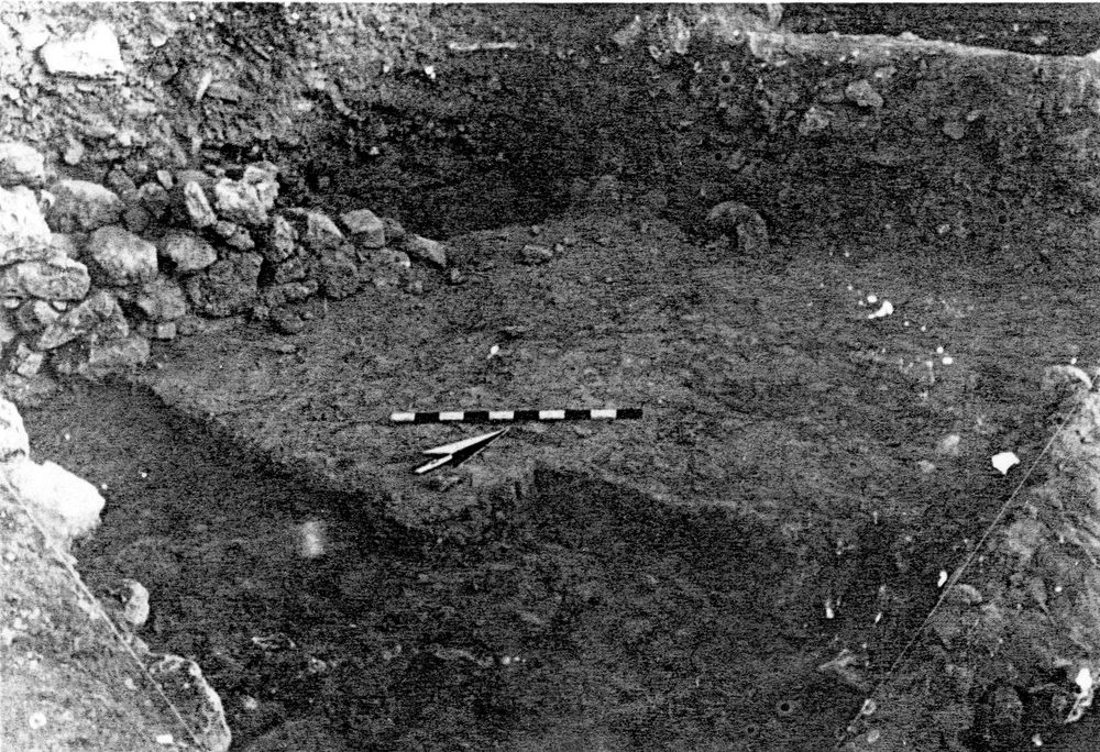
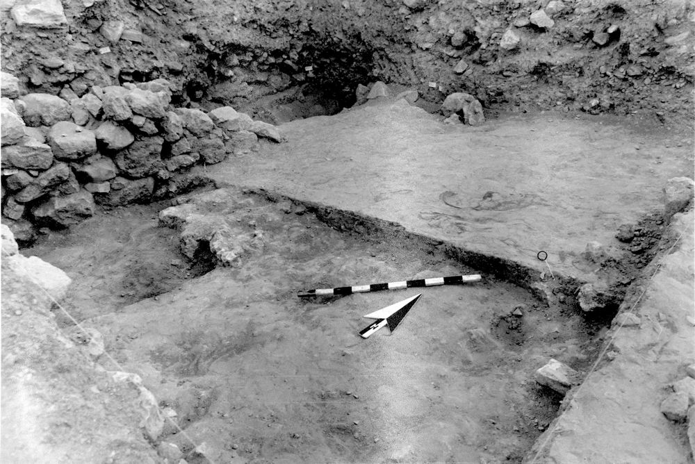
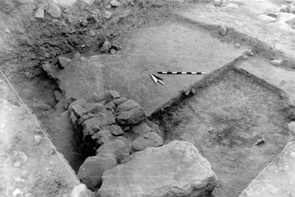
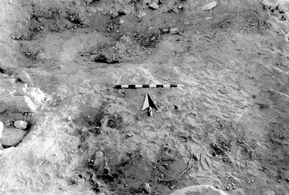
Remarks
Remarks:
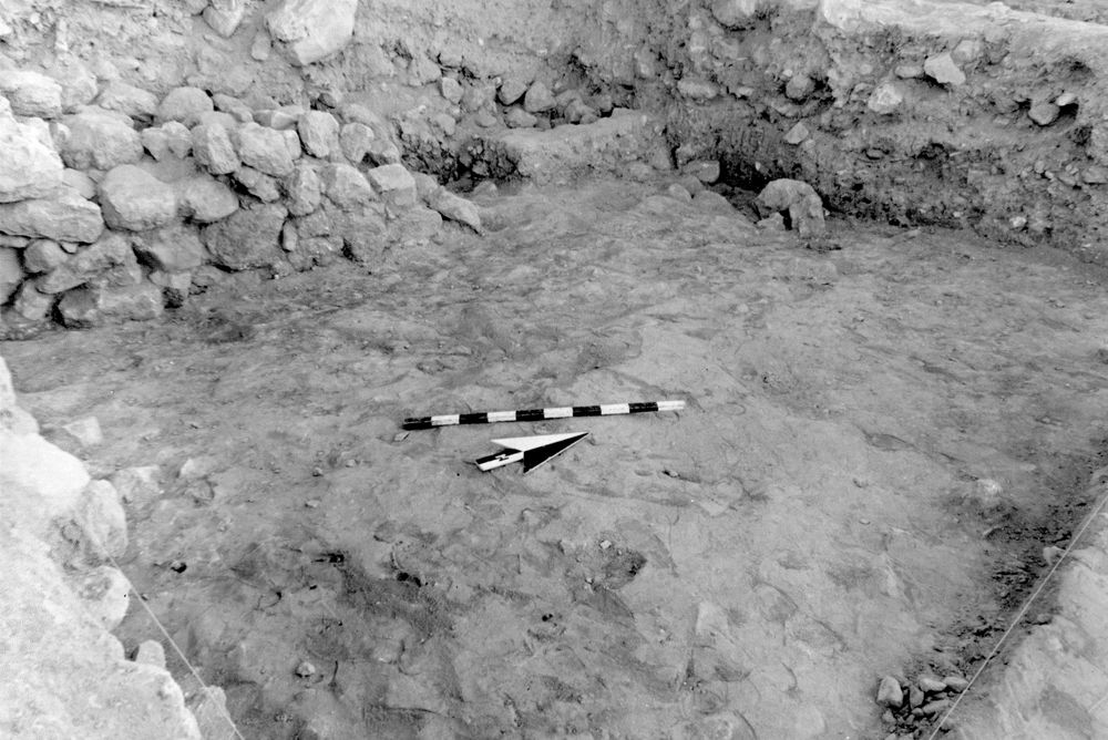
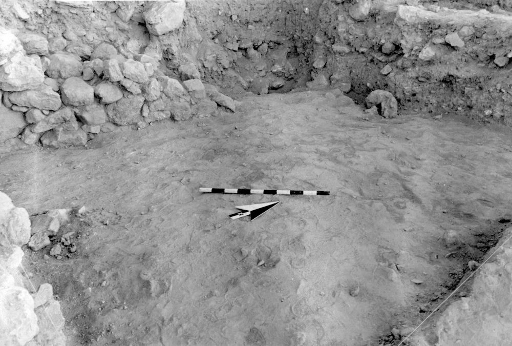
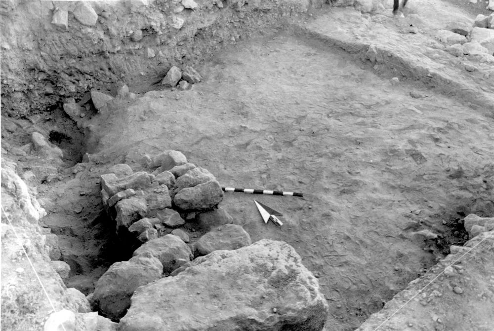
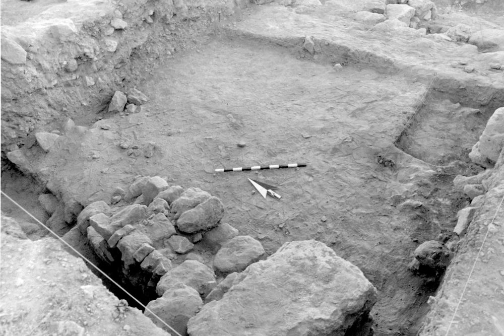
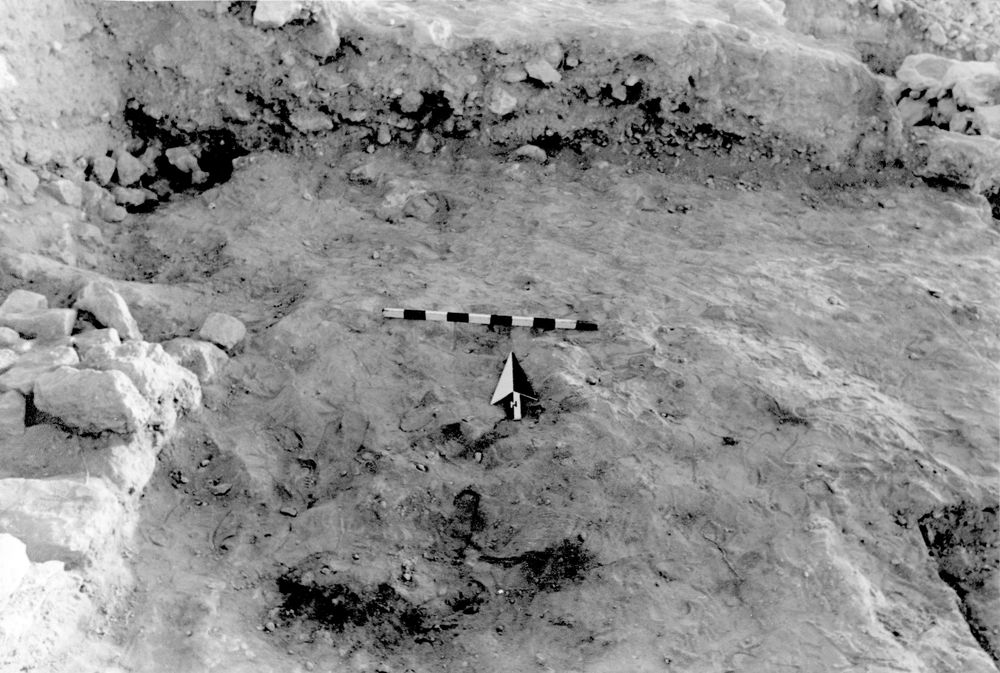
First thought to be a pit of organic material seemingly lined with small boulders which at first appeared patterned but later seemed random; the slope of boulders around W side follows sloping stratigraphy of W balk; later excavation revealed this to be rubble-filled layer exending over wall 44
Levels
| Location | Top Level | Bottom Level |
|---|---|---|
| 11 | 909.06 | 906.18 |
Stratigraphy
| Relationship | Related to | Related locus |
|---|---|---|
| Under | Surface | F6L98:047 |
| Under | Earth layer | F6L98:050 |
| Over | Pit | F6L98:051 |
| Over | Surface | F6L98:052 |
| Over | Surface | F6L98:056 |
| Over | Earth layer | F6L98:058 |
| Over | Surface | F6L98:061 |
| Seals against | Wall | F6L98:044 |
Pails
| Number | Date | Baskets | Total | Diagnostic | Published |
|---|---|---|---|---|---|
| 201 | 03 Jul, 1989 | 19 | 263 | 35 | 0 |
| 227 | 10 Jul, 1989 | 8 | 0 | 0 | 0 |
| 249 | 24 Jul, 1989 | 32 | 136 | 21 | 0 |
| 250 | 24 Jul, 1989 | 20 | 185 | 27 | 0 |
| 251 | 24 Jul, 1989 | 22 | 144 | 16 | 0 |
Photos
| Date | Photo Number | Subject | Photo |
|---|---|---|---|
| 30 Jun, 1989 | 89F98420 | Progress |
|
| 30 Jun, 1989 | 89F98422 | Progress |
|
| 12 Jul, 1989 | 89F98429 | Progress |
|
| 07 Jul, 1989 | 89F98425 | Progress |
|
| 07 Jul, 1989 | 89F98426 | Progress |
|
| 10 Jul, 1989 | 89F98427 | Progress |
|
| 11 Jul, 1989 | 89F98428 | Progress |
|
| 13 Jul, 1989 | 89F98430 | Progress |
|
| 14 Jul, 1989 | 89F98431 | Progress |
|
| 17 Jul, 1989 | 89F98432 | Progress |
|
| 18 Jul, 1989 | 89F98433 | Progress |
|
| 13 Jul, 1989 | 89F98419 | Progress |
|
| 04 Jul, 1989 | 89F98423 | Progress |
|
| 28 Jun, 1998 | 982F98001 | Cleanup |

|