Locus C.8L72.009
General Information
Locus Type:
Installation
Supervisor:
C. Peachey
Designation:
Bedrock
Reason:
Bedrock
Top Separation:
Bottom Separation:
Start Date:
11 Jul, 1984
End Date:
02 Aug, 1984
Interpretation
Function:
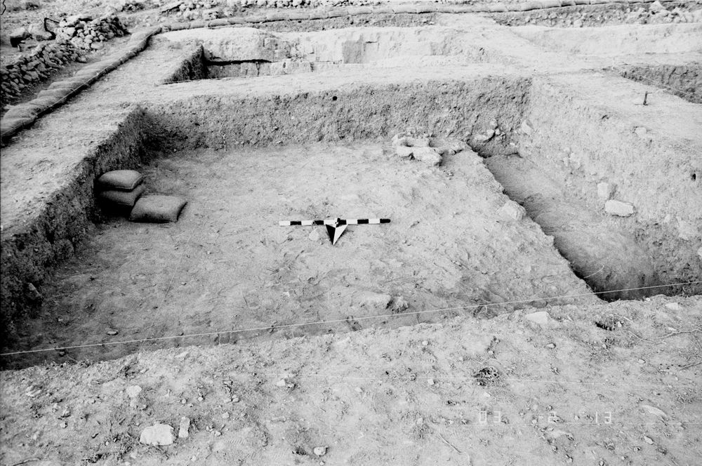
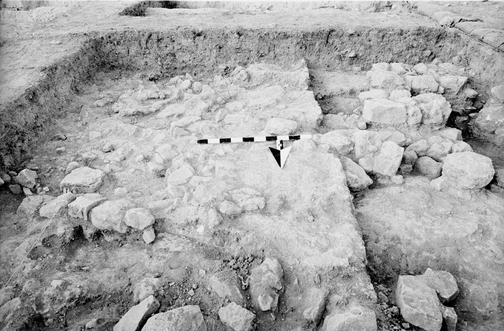
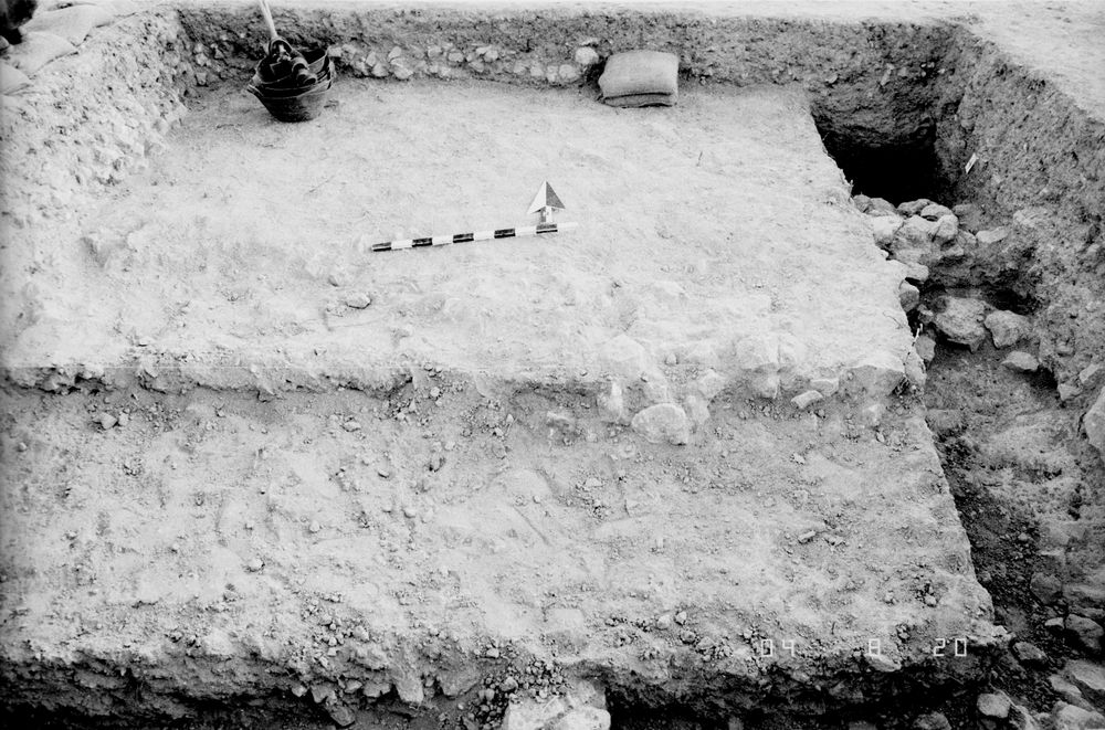
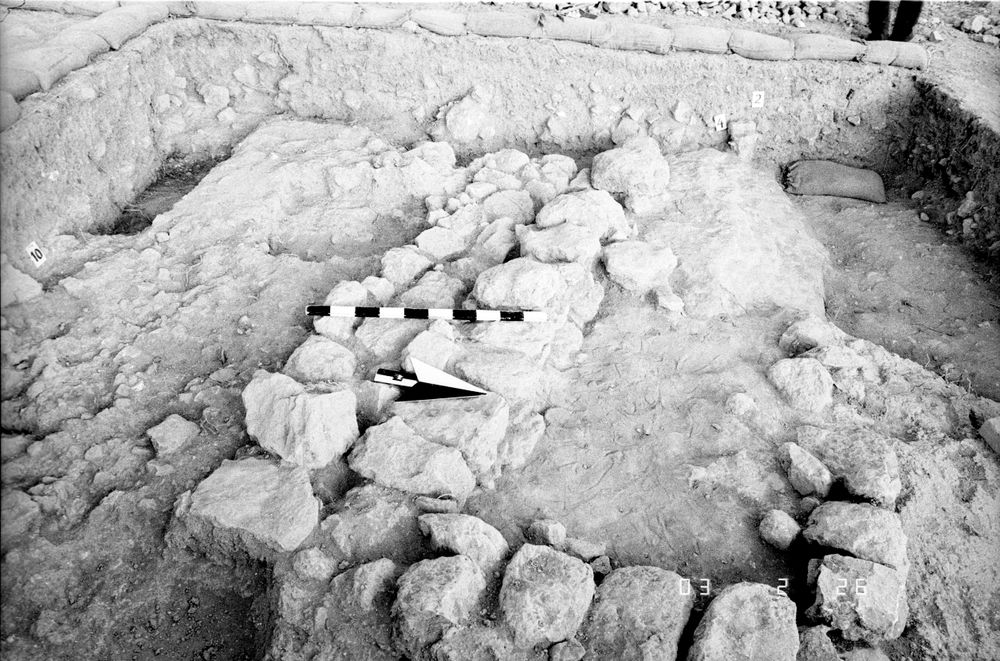
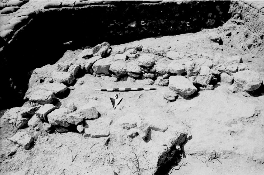
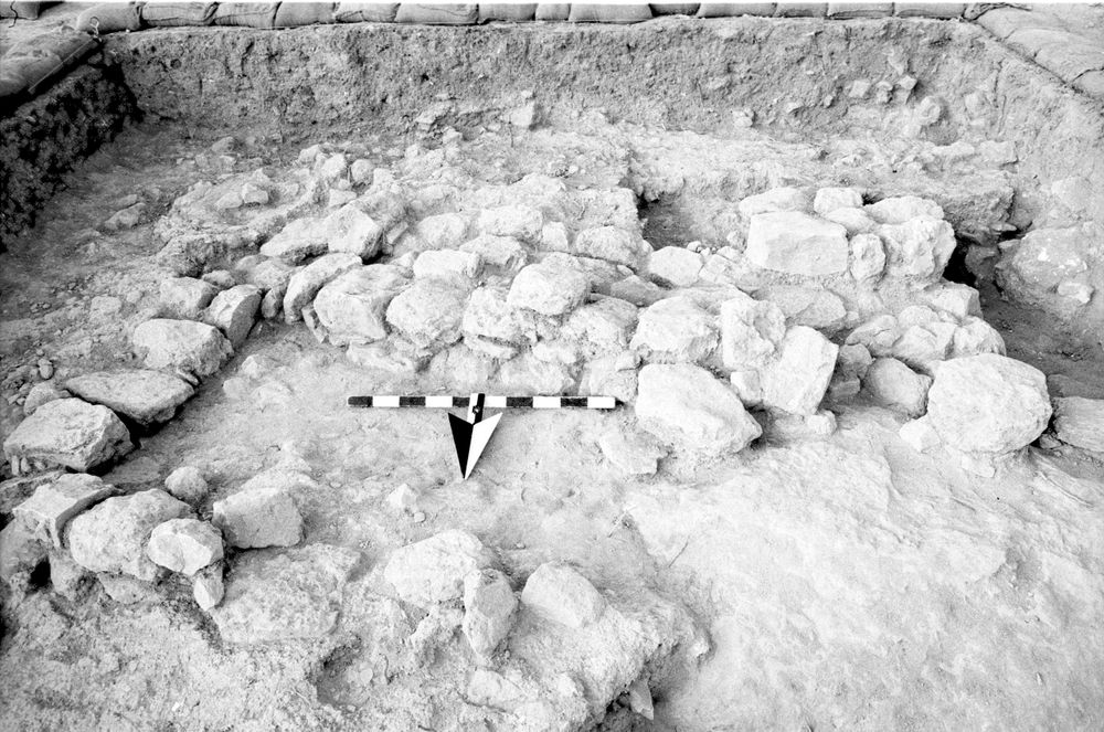
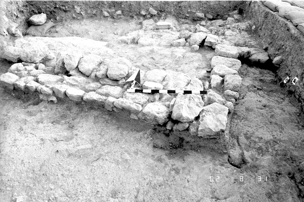
Used as a base for occupation surfaces & wall construction; surfaces & walls are founded just a few cm above bedrock; it is poss that ledges were used to support roofs
Stratigraphy remarks:
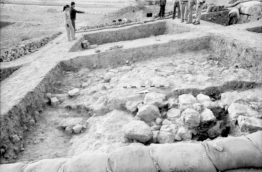
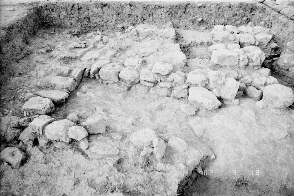
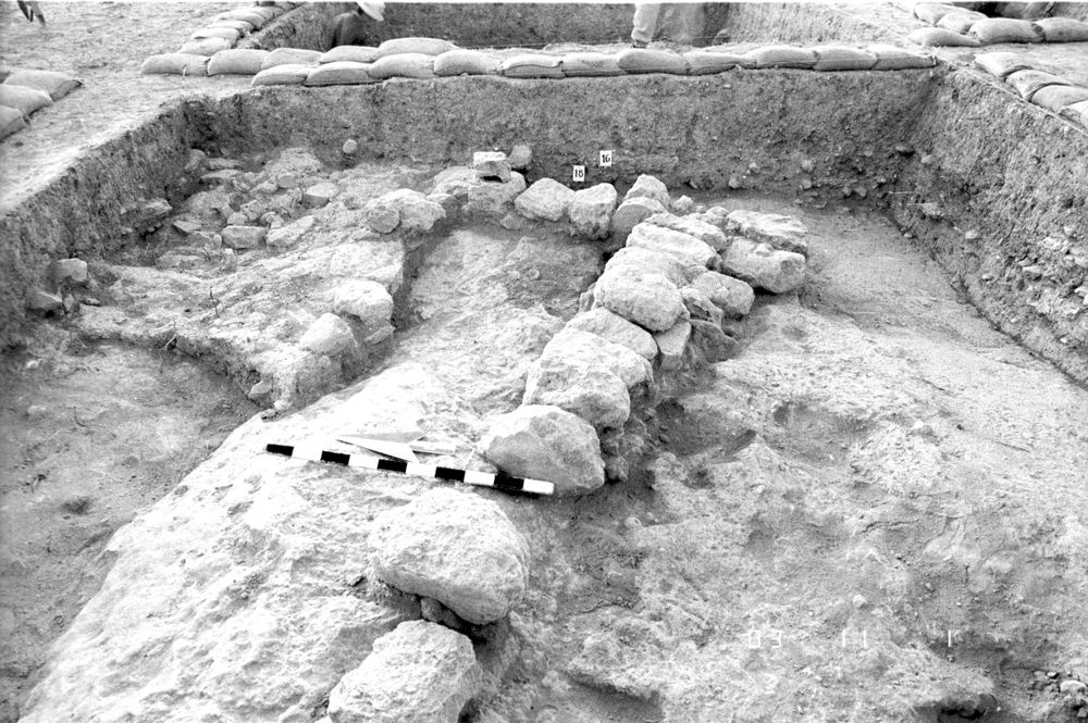
Along the S balk, occupation material is found immediately over bedrock, & a series of at least 5 surfaces are superimposed here, indicating resurfacing & levelling of the irregular bedrock surface; this could represent a number of occupation phases, or freq resurfacing over a shorter period of time
Balk:
Phase:
Stratum :
Installation Description
Type
Certain:
Bedrock
Probable:
Possible 1:
Possible 2:
Material
Limestone Qualifier 1:
Limestone Qualifier 2:
Limestone Percent:
Bedrock Qualifier 1:
Bedrock Qualifier 2:
Bedrock Percent:
100
Ceramic Qualifier 1:
Ceramic Qualifier 2:
Ceramic Percent:
0
Mud Qualifier 1:
Mud Qualifier 2:
Mud Percent:
Mudbrick Qualifier 1:
Mudbrick Qualifier 2:
Mudbrick Percent:
Nari Qualifier 1:
Nari Qualifier 2:
Nari Percent:
0
Plaster Qualifier 1:
Plaster Qualifier 2:
Plaster Percent:
0
Earth Qualifier 1:
Earth Qualifier 2:
Earth Percent:
0
Stone Qualifier 1:
Stone Qualifier 2:
Stone Percent:
0
Plan
Type:
Irregular
Quality 1:
Quality 2:
Remarks:
Lining
Lining:
None
Measurements
Greatest Length in meters:
5
Greatest width in meters:
0
Smallest width in meters:
5
Greatest Height in meters:
0
Lowest Height in meters:
0
Orientation (degrees):
0
Remarks
Remarks:
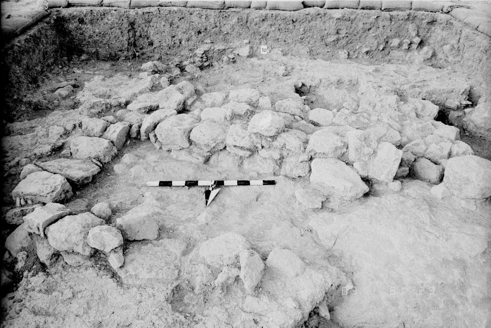
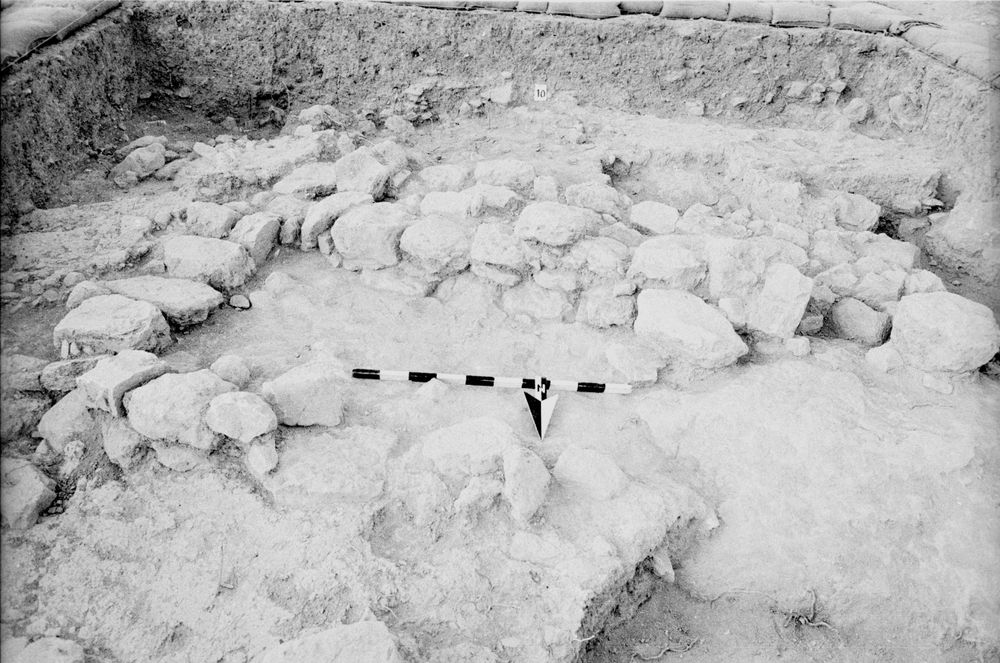
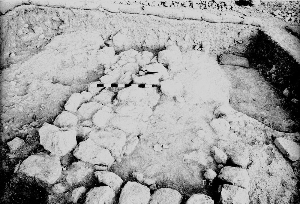
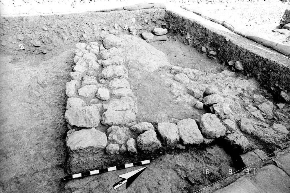
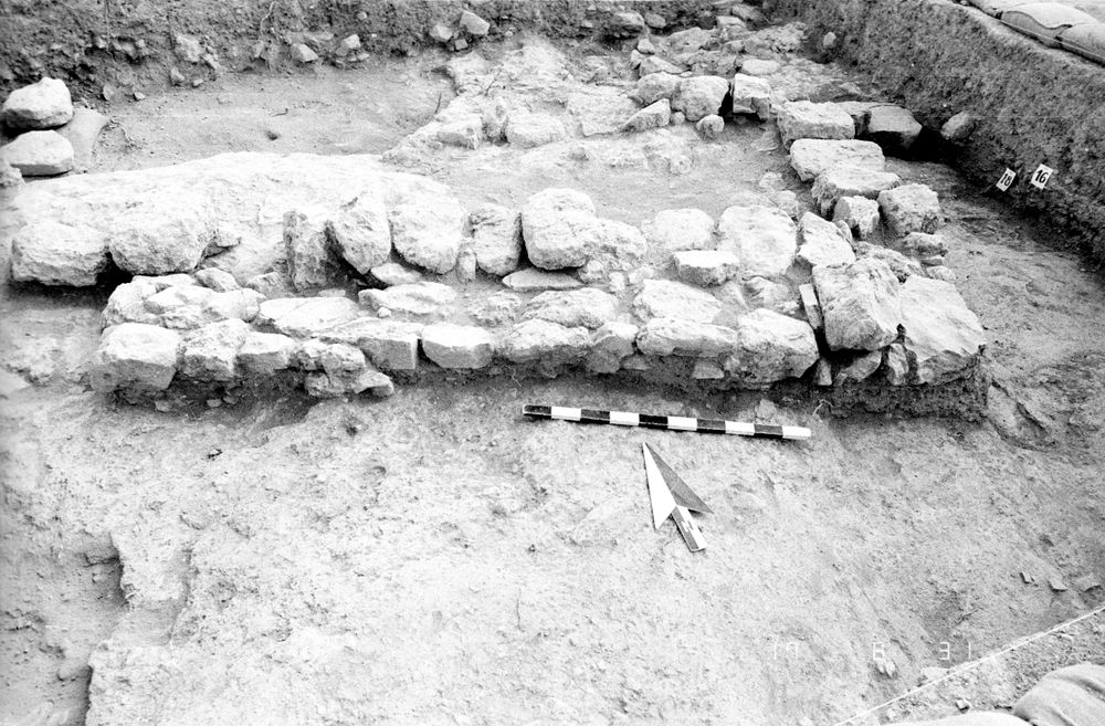
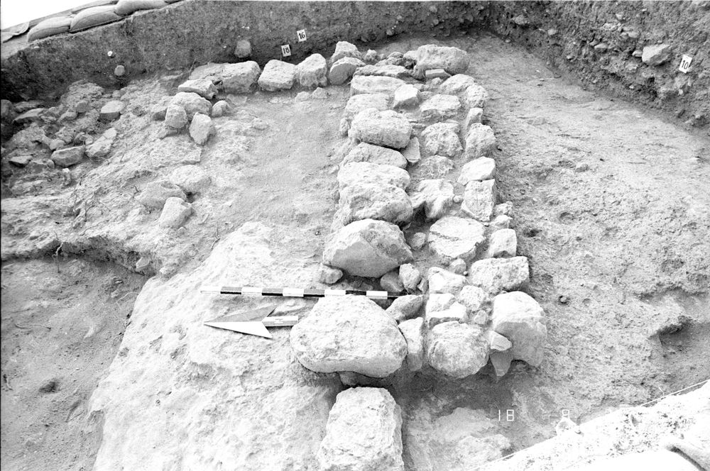
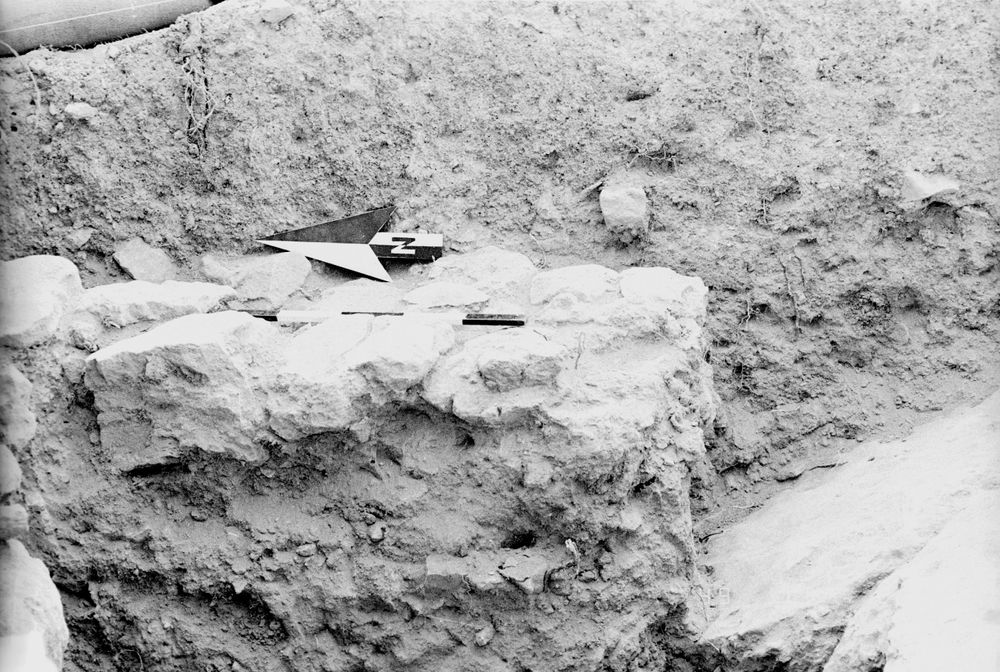
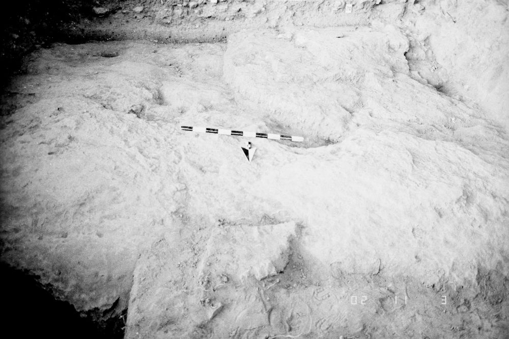
Bedrock was encountered throughout the square, except along the W end of the N balk where excavation was not completed; it was reached at the E end; the surface is irregular, with cup-shaped depressions & channel-like features which are prob natural; it is rounded & smooth for the most part, except along the N balk where it takes a very sharp dropoff to an overhanging ledge approx 1.25 m from the balk; it then smooths out again & slopes down to its greatest depth
Levels
| Location | Top Level | Bottom Level |
|---|---|---|
| 14 | 892.87 | 0 |
| 23 | 892.38 | 0 |
| 25 | 892.84 | 0 |
| 29 | 892.53 | 0 |
Stratigraphy
| Under | Earth layer | C8L72:004 |
| Under | Wall | C8L72:005 |
| Under | Wall | C8L72:007 |
| Under | Wall | C8L72:008 |
| Under | Earth layer | C8L72:019 |
| Under | Earth layer | C8L72:022 |
| Under | Earth layer | C8L72:023 |
| Under | Earth layer | C8L72:025 |
| Under | Earth layer | C8L72:026 |
Pails
| Number | Date | Baskets | Total | Diagnostic | Published |
|---|
Photos
| Date | Photo Number | Subject | Photo |
|---|---|---|---|
| 13 Jul, 1984 | 84C72231 | Progress |
|
| 16 Jul, 1984 | 84C72252 | Progress |
|
| 17 Jul, 1984 | 84C72275 | Progress |
|
| 18 Jul, 1984 | 84C72298 | Progress |
|
| 20 Jul, 1984 | 84C72342 | Progress |
|
| 23 Jul, 1984 | 84C72363 | Progress |
|
| 24 Jul, 1984 | 84C72388 | Progress |
|
| 25 Jul, 1984 | 84C72411 | Progress |
|
| 26 Jul, 1984 | 84C72440 | Progress |
|
| 30 Jul, 1984 | 84C72491 | Progress |
|
| 19 Jul, 1984 | 84C72323 | Progress |
|
| 31 Jul, 1984 | 84C72532 | Progress |
|
| 31 Jul, 1984 | 84C72534 | Wall 7 & other loci |
|
| 31 Jul, 1984 | 84C72535 | Wall 7 & other loci |
|
| 31 Jul, 1984 | 84C72536 | Wall 7 & other loci |
|
| 01 Aug, 1984 | 84C72551 | Progress |
|
| 02 Aug, 1984 | 8402-1101 | Progress |

|
| 02 Aug, 1984 | 84C72602 | Wall 27 |
|
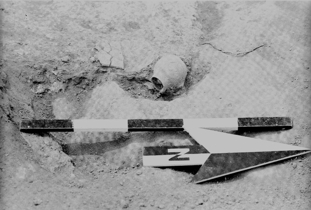
| 02 Aug, 1984 | 84C72603 | EB juglet in situ |
|
| 03 Aug, 1984 | 84C72630 | Progress |
|
| 03 Aug, 1984 | 84C72633 | Tumble (23) in SW corner |
|