Locus L.6K96.002
General Information
Locus Type:
Earth
Supervisor:
N. Oakden
Designation:
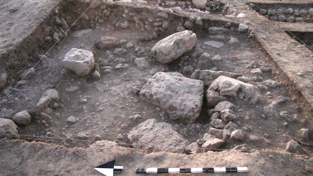
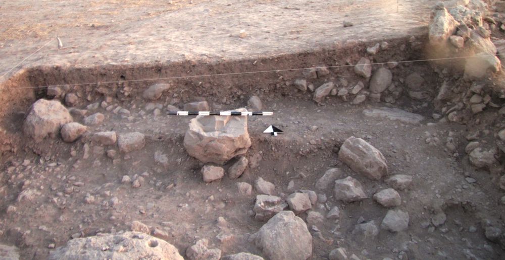
Debris layer with marked density of ceramic sherds
Reason:
1 m X 5 m semi-arbitrary division of northernmost meter of square based on observation of dense pottery concentration in this area.
Top Separation:
Arbitrary
Bottom Separation:
Arbitrary
Start Date:
12 Jul, 2010
End Date:
19 Jul, 2010
Interpretation
Function:
Locus 2 participates in the general Locus 2&3 high density deposit of pottery and stones, thought to be a result of deliberate clearing of the top of the tell for agricultural purposes.
Stratigraphy remarks:
Locus 2 = Locus 3, initially divided based on observation of high density of pottery in northern area of square. Determined that a similar density existed in the rest of the square, just at a slightly lower elevation, which is perhaps expected based on the N-S slope of the square itself.
Balk:
Phase:
Stratum :
Earth Description
Color
Munsell Number:
10YR 6/3
Texture
Texture:
Loam-Silt loam
Particle Shape A %:
20
Particle Shape AS %:
30
Particle Shape SR %:
30
Particle Shape R %:
20
Consistence
Hardness:
Loose
Compactness Description 1:
Loose
Compactness Degree 1:
very
Compactness Description 2:
Crumbly
Compactness Degree 2:
moderately
Wetness Description:
Moist
Wetness Degree:
moderately
Structure:
Measurements
Length:
5
Width:
1
Upper Depth:
0.82
Lower Depth:
0.06
Downslope Direction:
265 SSW
Degree of Slope:
10
Surface Material
Surface Material:
Laminated Surface:
Stone Inclusions
Pebbles (2mm-6cm)/bskt:
150
Cobbles (6 - 25cm)/bskt:
7
Boulders (25 cm+)/bskt:
1
Stone Distribution:
Random
Earth Inclusions
Nari Frequency (per m2):
Nari Size (in m):
Brick Frequency (per m2):
Brick Size (in m):
Pebble Frequency (per m2):
Pebble Size (in m):
Ash Frequency (per m2):
Ash Size (in m):
Earth Distribution:
Artifact Inclusions
Pottery Frequency:
Flint Frequency:
Glass Totals:
Tesserae Totals:
Tabun Fragments:
Brick Fragments:
Roof Tiles:
Worked Stones:
Burned Stones:
Unfired Clay:
Arch. Fragments:
Artifact Distribution:
Organic Inclusions
Bone Frequency:
Olive Pits per basket:
Burned Wood per basket:
Burnt Wood Avg Size in cm:
UD per basket:
UD SAvg Size in cm:
Distribution:
Remarks
Remarks:
some nari pebbles, some very flat stones that might have been pavers in a prior life prior to being in our rock debris pile.
Levels
| Location | Top Level | Bottom Level |
|---|---|---|
| 7 | 914.33 | 914.27 |
| 11 | 915 | 914.18 |
| 13 | 914.3 | 914.22 |
| 17 | 914.88 | 914.19 |
Stratigraphy
| Under | Earth layer | L6K96:001 |
| Equals | Earth layer | L6K96:003 |
Pails
| Number | Date | Baskets | Total | Diagnostic | Published |
|---|
Photos
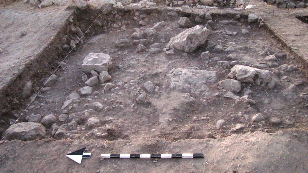
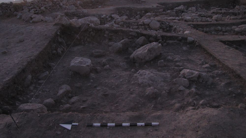
| Date | Photo Number | Subject | Photo |
|---|---|---|---|
| 13 Jul, 2010 | 10L96175 | opening shot |
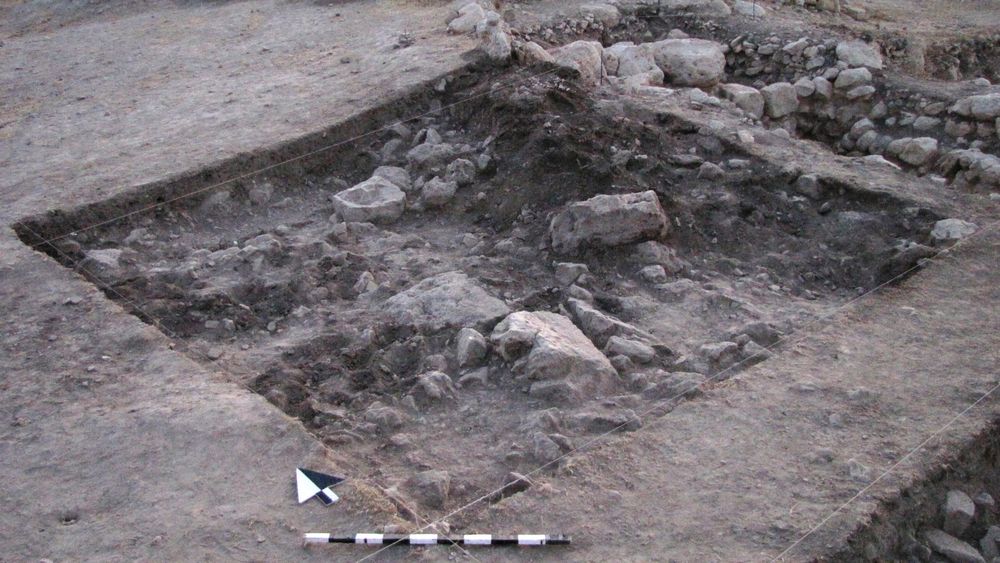
|
| 14 Jul, 2010 | 10L96186 | progress shot |
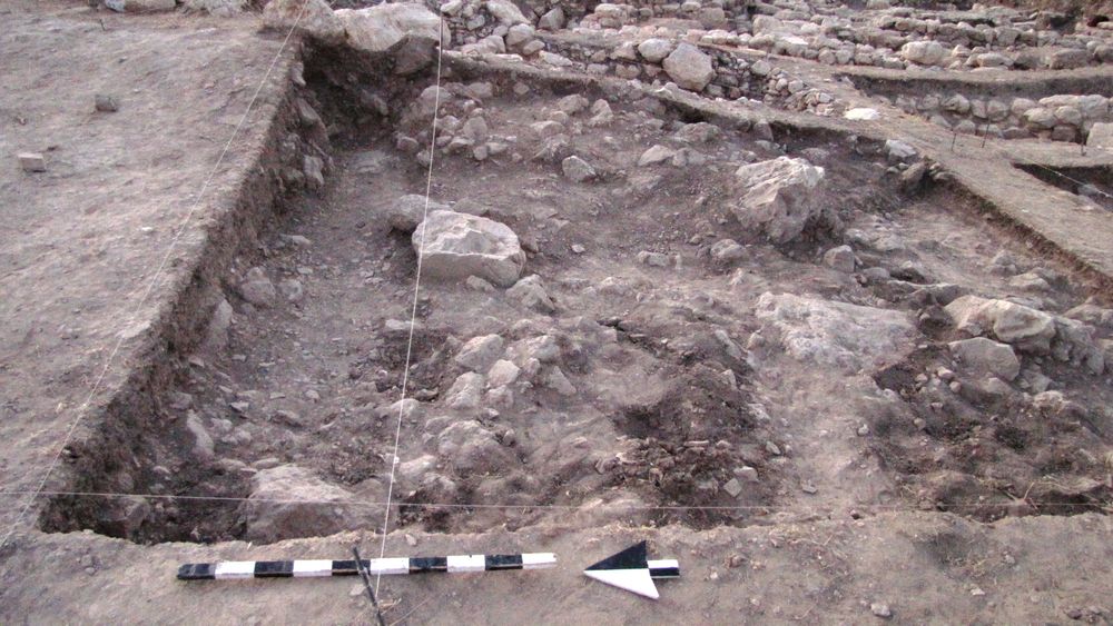
|
| 15 Jul, 2010 | 10L96198 | progress shot |
|
| 16 Jul, 2010 | 10L96211 | progress shot |
|
| 19 Jul, 2010 | 10L96223 | progress shot |
|
| 20 Jul, 2010 | 10L96239 | closing photo |
|