Locus L.6K89.038
General Information
Locus Type:
Earth
Supervisor:
M. Boyd/D. Hopkins
Designation:
rock tumble
Reason:
rock tumble
Top Separation:
Clear
Bottom Separation:
Average
Start Date:
08 Jul, 2010
End Date:
12 Jul, 2010
Interpretation
Function:
rock tumble possibly used as fill before area was used as an agricultural field with Locus 1
Stratigraphy remarks:
under topsoil 1, seals against and over W39 and over 4 north of 39
Balk:
E
Phase:
Stratum :
Earth Description
Color
Munsell Number:
10YR 6/3
Texture
Texture:
Sand clay loam-Silty clay loam
Particle Shape A %:
15
Particle Shape AS %:
25
Particle Shape SR %:
30
Particle Shape R %:
30
Consistence
Hardness:
Loose
Compactness Description 1:
Loose
Compactness Degree 1:
moderately
Compactness Description 2:
Compactness Degree 2:
Wetness Description:
Dry
Wetness Degree:
very
Structure:
Measurements
Length:
1.53
Width:
1
Upper Depth:
0
Lower Depth:
0.2
Downslope Direction:
10SSE
Degree of Slope:
1
Surface Material
Surface Material:
Laminated Surface:
Stone Inclusions
Pebbles (2mm-6cm)/bskt:
1200
Cobbles (6 - 25cm)/bskt:
6
Boulders (25 cm+)/bskt:
Stone Distribution:
Earth Inclusions
Nari Frequency (per m2):
Nari Size (in m):
Brick Frequency (per m2):
Brick Size (in m):
Pebble Frequency (per m2):
Pebble Size (in m):
Ash Frequency (per m2):
Ash Size (in m):
Earth Distribution:
Artifact Inclusions
Pottery Frequency:
Flint Frequency:
Glass Totals:
Tesserae Totals:
Tabun Fragments:
Brick Fragments:
Roof Tiles:
Worked Stones:
Burned Stones:
Unfired Clay:
Arch. Fragments:
Artifact Distribution:
Organic Inclusions
Bone Frequency:
Olive Pits per basket:
Burned Wood per basket:
Burnt Wood Avg Size in cm:
UD per basket:
UD SAvg Size in cm:
Distribution:
Remarks
Remarks:
actual width into 6L80 1.5m
Levels
| Location | Top Level | Bottom Level |
|---|---|---|
| 18 | 910.53 | 910.33 |
Stratigraphy
| Under | Earth layer | L6K89:001 |
| Over | Earth layer | L6K89:041 |
| Seals against | Wall | L6K89:039 |
Pails
| Number | Date | Baskets | Total | Diagnostic | Published |
|---|
Photos
| Date | Photo Number | Subject | Photo |
|---|---|---|---|
| 09 Jul, 2010 | 10L89158 | progress shot |
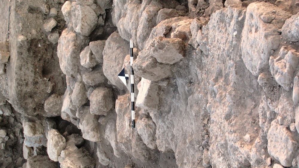
|
| 12 Jul, 2010 | 10L89171 | progress shot |
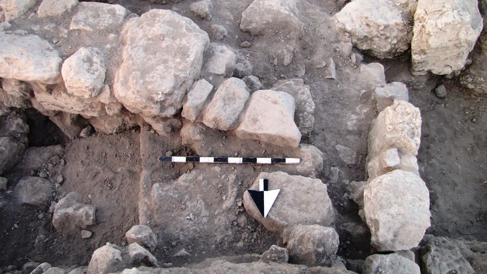
|
| 13 Jul, 2010 | 10L89184 | progress shot |
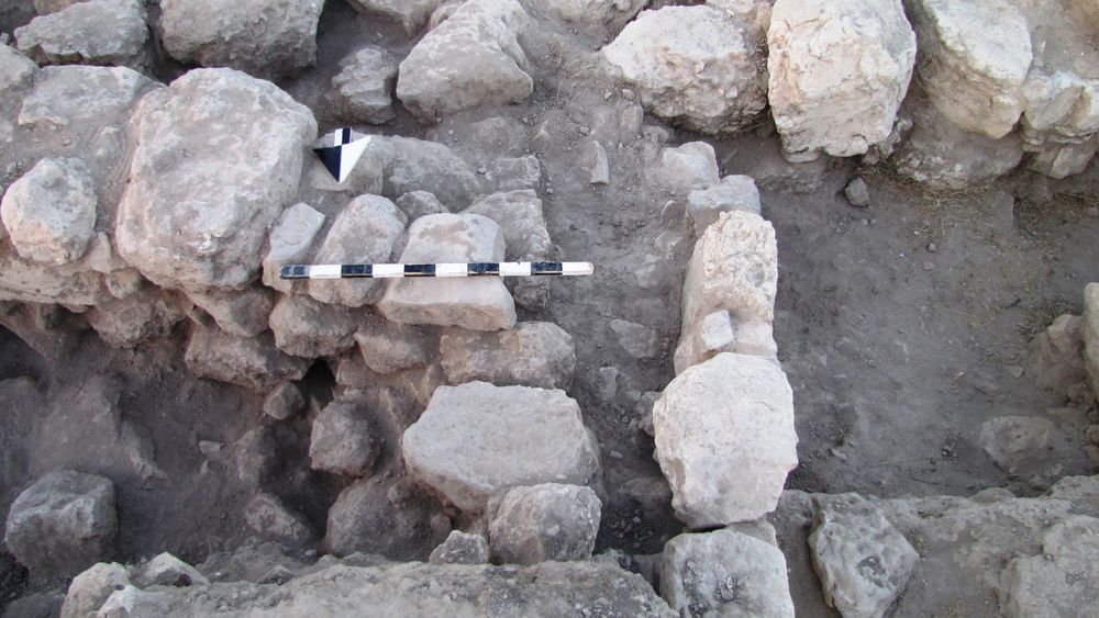
|
| 08 Jul, 2010 | 10L89147 | progress shot |
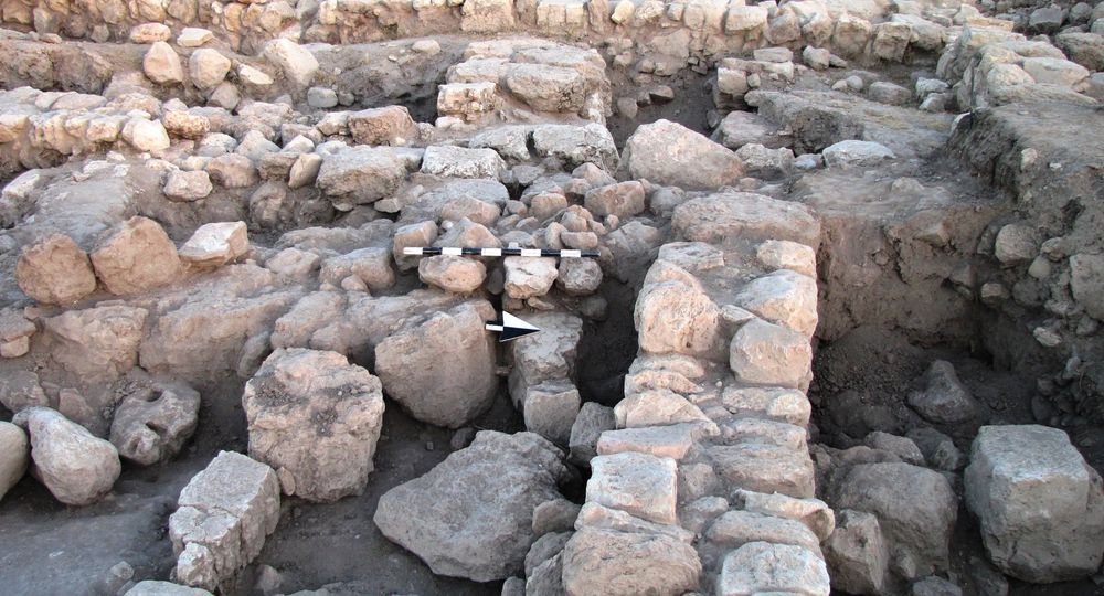
|