Locus H.7K22.019
General Information
Locus Type:
Earth
Supervisor:
R. Dorsett
Designation:
Layer over cobbles
Reason:
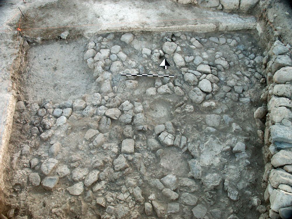
Sterile field soil appeared over small boulders of Surf 14
Top Separation:
Clear
Bottom Separation:
Very Clear
Start Date:
25 Jun, 2002
End Date:
08 Jul, 2002
Interpretation
Function:
Leveling surface for Layer 18
Stratigraphy remarks:
Immediately over Cobbles 14; prob part of the same constructional phase
Balk:
Phase:
Stratum :
Earth Description
Color
Munsell Number:
10YR 5/3
Texture
Texture:
Sand clay loam-Silty clay loam
Particle Shape A %:
40
Particle Shape AS %:
30
Particle Shape SR %:
20
Particle Shape R %:
10
Consistence
Hardness:
S. Loose
Compactness Description 1:
Loose
Compactness Degree 1:
moderately
Compactness Description 2:
Compactness Degree 2:
Wetness Description:
Moist
Wetness Degree:
somewhat
Structure:
Random
Measurements
Length:
4.8
Width:
4.7
Upper Depth:
0.09
Lower Depth:
0.04
Downslope Direction:
270
Degree of Slope:
4
Surface Material
Surface Material:
Laminated Surface:
0
Stone Inclusions
Pebbles (2mm-6cm)/bskt:
600
Cobbles (6 - 25cm)/bskt:
0
Boulders (25 cm+)/bskt:
0
Stone Distribution:
Random
Earth Inclusions
Nari Frequency (per m2):
0
Nari Size (in m):
0
Brick Frequency (per m2):
0
Brick Size (in m):
0
Pebble Frequency (per m2):
0
Pebble Size (in m):
0
Ash Frequency (per m2):
0
Ash Size (in m):
0
Earth Distribution:
Artifact Inclusions
Pottery Frequency:
0
Flint Frequency:
Glass Totals:
0
Tesserae Totals:
0
Tabun Fragments:
0
Brick Fragments:
0
Roof Tiles:
0
Worked Stones:
0
Burned Stones:
Unfired Clay:
Arch. Fragments:
Artifact Distribution:
Organic Inclusions
Bone Frequency:
Olive Pits per basket:
0
Burned Wood per basket:
0
Burnt Wood Avg Size in cm:
UD per basket:
0
UD SAvg Size in cm:
0
Distribution:
Remarks
Remarks:
Bottom was not so clear as it appears at times because of the varying level of Cobbles 14; it was called "sterile" because it appeared to have been brought onto the site from surrounding fields and was not reused occupational debris
Levels
| Location | Top Level | Bottom Level |
|---|---|---|
| 10 | 912.75 | 912.69 |
| 11 | 912.74 | 912.68 |
| 21 | 912.7 | 912.66 |
| 25 | 912.63 | 912.61 |
Stratigraphy
| Under | Earth layer | H7K22:018 |
| Over | Earth layer | H7K22:014 |
| Cut by | FT | H7K22:021 |
| Cut by | FT | H7K22:025 |
| Cut by | FT | H7K22:029 |
| Over | Wall | H7K22:036 |
Pails
| Number | Date | Baskets | Total | Diagnostic | Published |
|---|
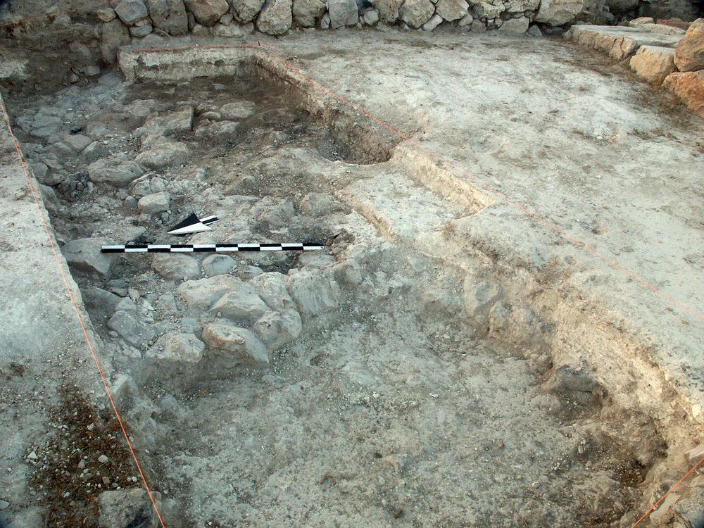
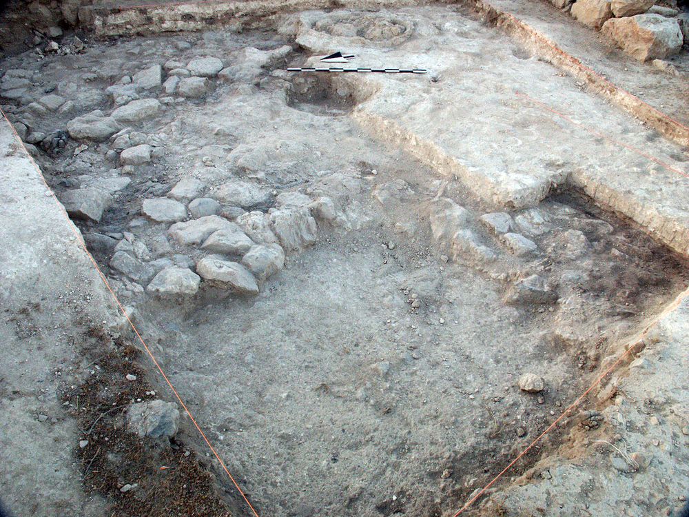
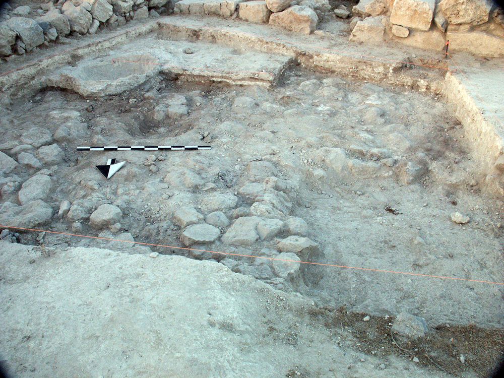
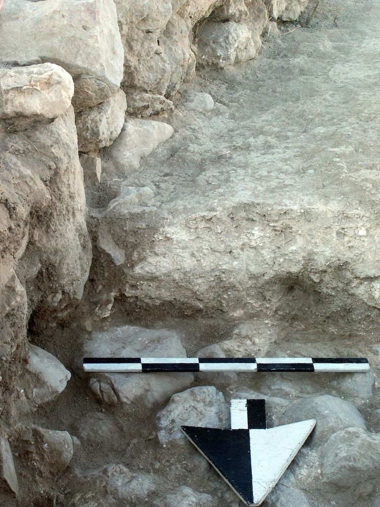
Photos
| Date | Photo Number | Subject | Photo |
|---|---|---|---|
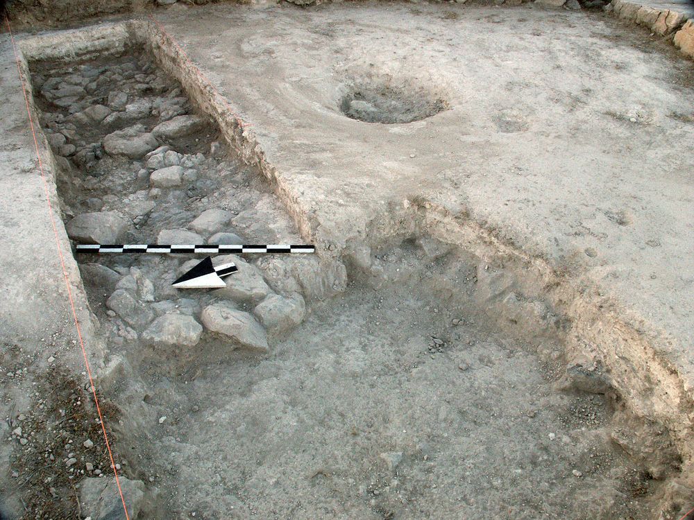
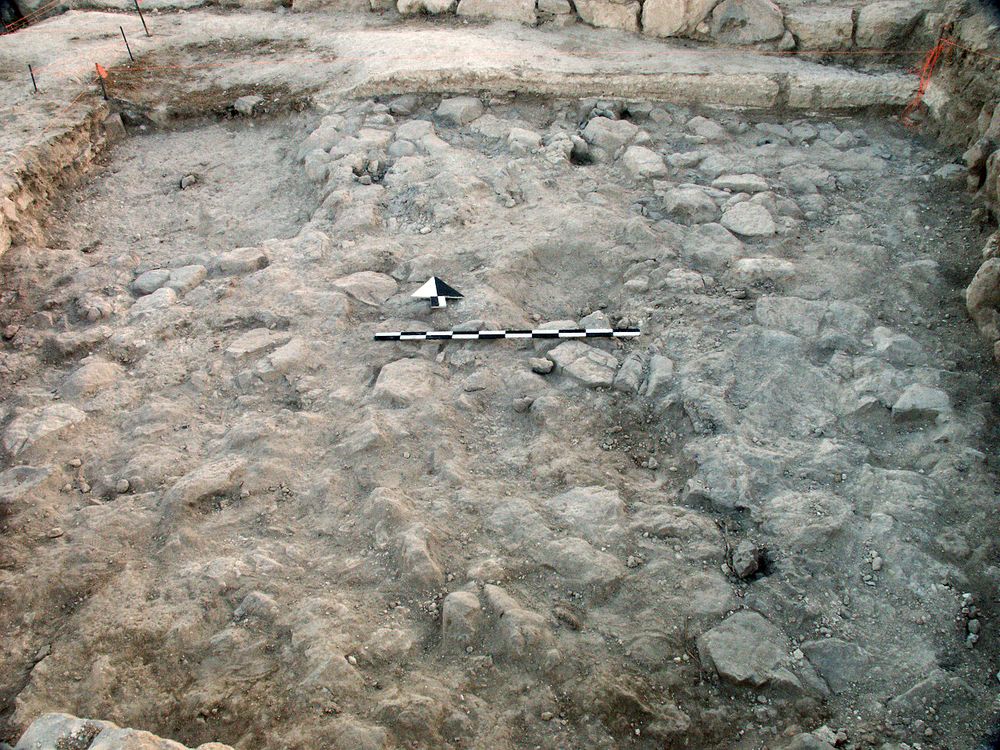
| 28 Jun, 2002 | 02H22052 | Progress |
|
| 02 Jul, 2002 | 02H22074 | Progress |
|
| 03 Jul, 2002 | 02H22086 | Progress |
|
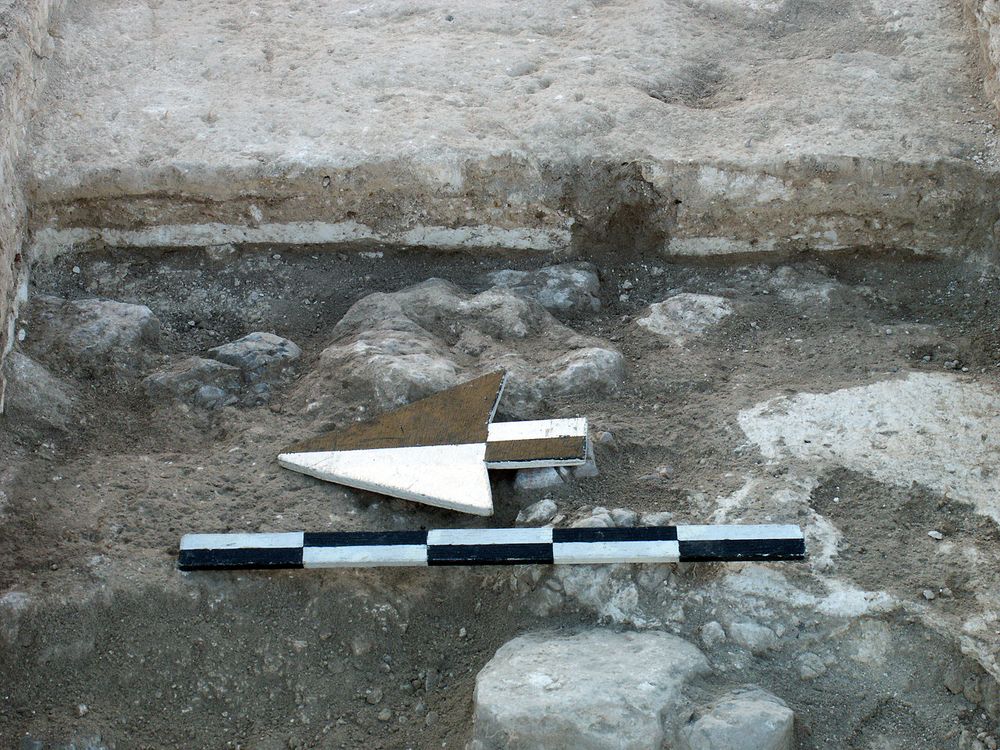
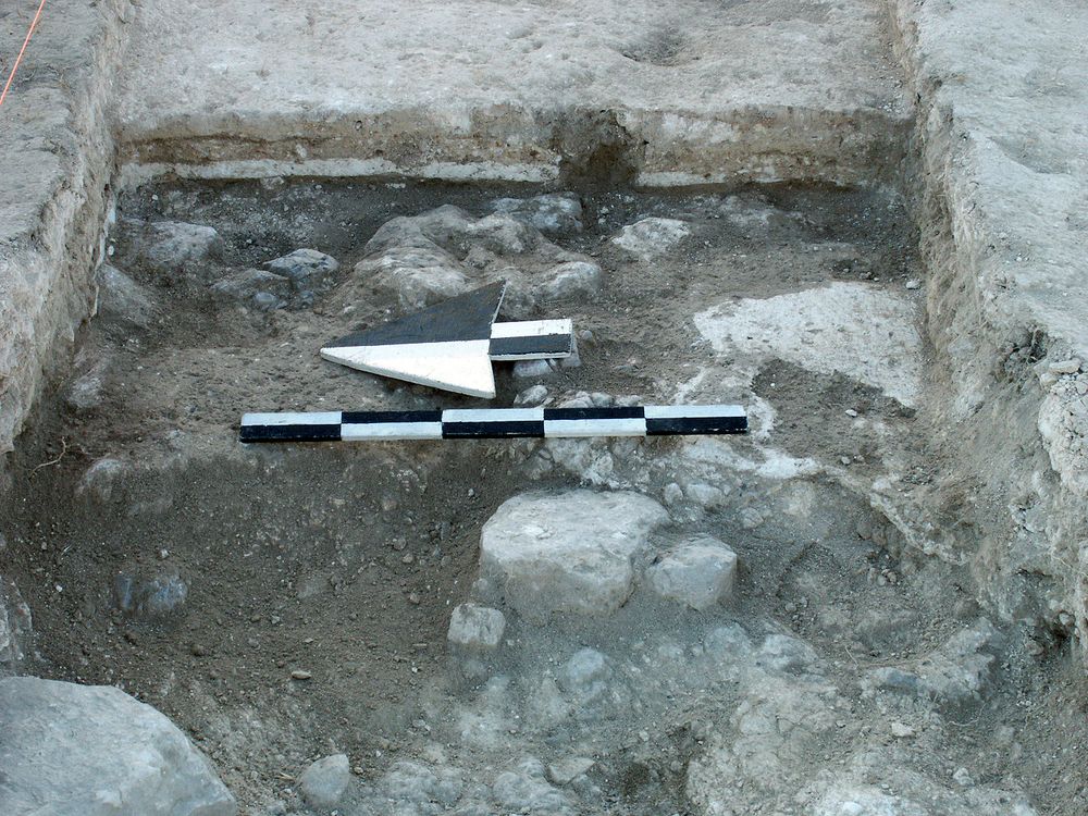
| 27 Jun, 2002 | 02H22045 | FT in Locus 21 |
|
| 08 Jul, 2002 | 02H22126 | Cobbles 14 from S |
|
| 26 Jun, 2002 | 02H22034 | Surfaces |
|
| 26 Jun, 2002 | 02H22033 | Surfaces |
|
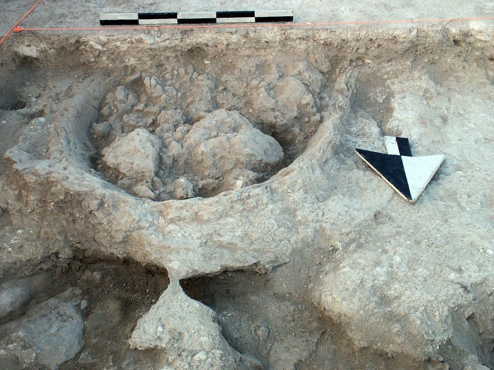
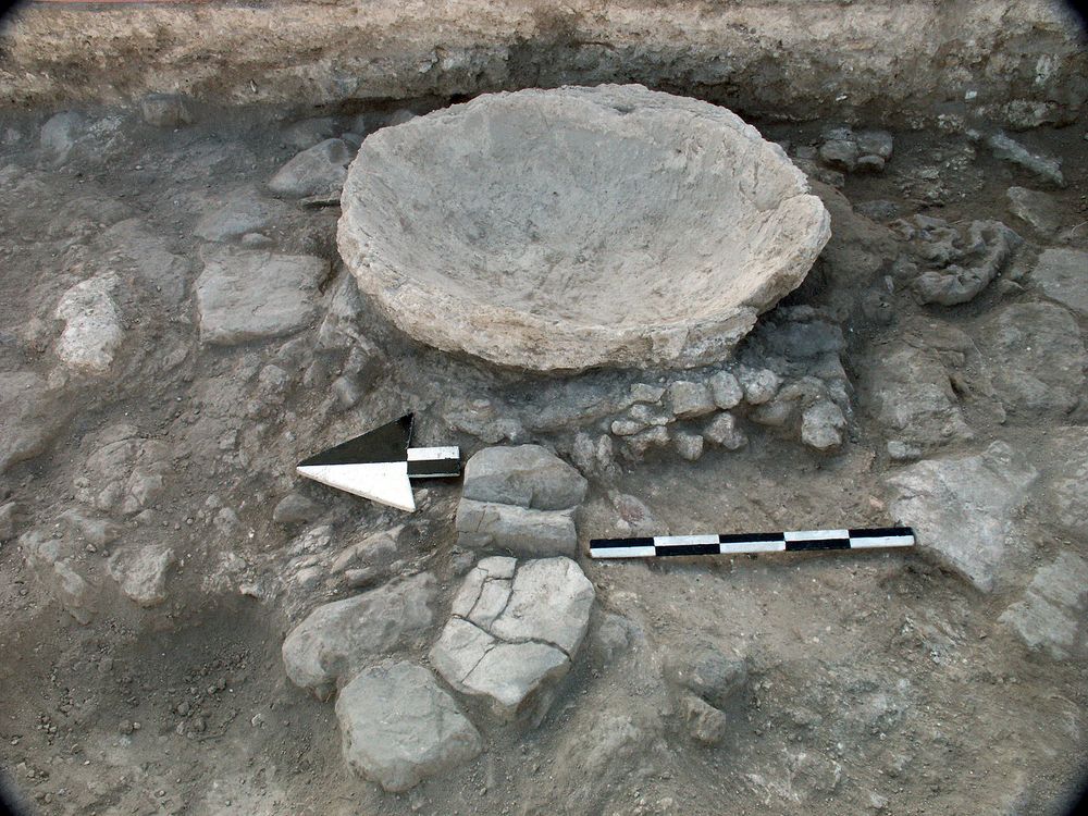
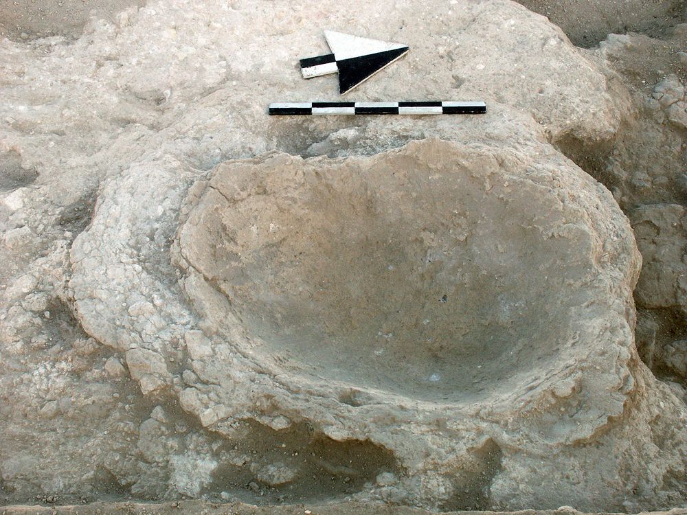
| 01 Jul, 2002 | 02H22066 | Plaster mixing basin |
|
| 03 Jul, 2002 | 02H22091 | Plaster mixing basin |
|
| 27 Jun, 2002 | 02H22041 | Progress |
|
| 05 Jul, 2002 | 02H22111 | Progress |
|
| 02 Jul, 2002 | 02H22079 | Plaster mixing basin |
|