Locus H.7K12.011
General Information
Locus Type:
Architecture
Supervisor:
J. Williams
Designation:
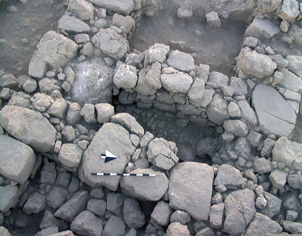
N-S wall
Reason:
Wall extending from 7K22
Top Separation:
Bottom Separation:
Start Date:
22 Jul, 1998
End Date:
31 Jul, 1998
Interpretation
Function:
Above average thickness suggests it is the S edge of the administrative complex
Stratigraphy remarks:
Cut by Byz Wall 5; but lies above L 9 & is thus later than Walls 4 & 7
Balk:
Phase:
Stratum :
Architecture Description
Material
chert Qualifier 1:
chert Qualifier 2:
chert Qualifier 3:
chert Percent:
0
Limestone Qualifier 1:
Hard
Limestone Qualifier 2:
Limesotne Qualifier 3:
Limestone Percent:
100
basalt Qualifier 1:
basalt Qualifier 2:
basalt Qualifier 3:
basalt Percent:
0
nari Qualifier 1:
nari Qualifier 2:
nari Qualifier 3:
nari Percent:
0
mudbrick Qualifier 1:
mudbrick Qualifier 2:
mudbrick Qualifier 3:
mudbrick Percent:
Arch Frags:
0
Fragment Type:
Quarry:
Wall Stones
Cobble (6-25 cm) %:
10
Small Boulder (25-50cm) %:
Medium Boulder (50-75cm) %:
25
Large Boulder (75-100cm) %:
0
Very Large Boulder (>1 m) %:
0
Chinkstones
Pebble (.2-6 cm) %:
5
Cobble (6-25 cm) %:
95
Fillstones: (in Rubble-filled Construction)
Cobble (6-25 cm) %:
0
Small Boulder (25-50cm) %:
0
Medium Boulder (50-75cm) %:
0
Large Boulder (75-100cm) %:
0
Very Large Boulder (>1 m) %:
0
Brick
Length (upper):
0.0
Length (lower):
0.0
Width (upper):
0.0
Width (lower):
0.0
Depth (upper):
0.0
Depth (lower):
0.0
Dressing: (Stone Only)
Unhewn %:
60
Semi-hewn %:
Dressed %:
0
Ashlar %:
0
Bossed %:
0
Tooling (Stone Only)
Upper Width:
0.0
Lower Width:
0.0
Upper Length:
0.0
Lower Length:
0.0
Sketch:
false
Photo:
false
Mortar
Dry-laid %:
100
Clay %:
0
Mud %:
0
Cement %:
0
Plaster %:
0
Average Thickness:
0.0
Facing
Facing:
Unfaced
Color:
Construction
Style:
Boulder & Chink
Support:
Free-standing
Tendencies:
S part is rubbly
Courses
Highest Count:
0
Lowest Count:
1
Random:
false
Rows
Highest Count:
4
Lowest Count:
3
Two with Rubble:
Random:
false
Measurements
Greatest Length in meters:
0.9
Greatest width in meters:
1.75
Smallest width in meters:
1
Greatest Height in meters:
0
Lowest Height in meters:
0.39
Orientation (degrees):
20
Dip (degrees):
0
Preservation
Preservation:
Partial Superstructure: Little
Lean Direction (degrees):
0
Lean Degrees:
0
Top Foundation Level:
0.0
Remarks
Remarks:
In S it was cut by FT 22 & filled with Wall 5 & Earth 17
Levels
| Location | Top Level | Bottom Level |
|---|---|---|
| 5 | 913.32 | 0 |
| 6 | 913.3 | 0 |
| 11 | 913.21 | 912.82 |
Stratigraphy
| Under | Earth layer | H7K12:001 |
| Over | Earth layer | H7K12:009 |
| Equals | Wall | H7K22:005 |
| Cut by | Earth layer | H7K12:017 |
| Cut by | FT | H7K12:022 |
| Sealed agnst by | Earth layer | H7K12:001 |
| Sealed agnst by | Earth layer | H7K12:002 |
Pails
| Number | Date | Baskets | Total | Diagnostic | Published | ||||||||||||
|---|---|---|---|---|---|---|---|---|---|---|---|---|---|---|---|---|---|
| 39 | 28 Jul, 1998 | 4 | 19 | 0 | 0 | ||||||||||||
Pottery Readings
|
|||||||||||||||||
Photos
| Date | Photo Number | Subject | Photo |
|---|---|---|---|
| 23 Jul, 1998 | 98H12320 | N balk progress |
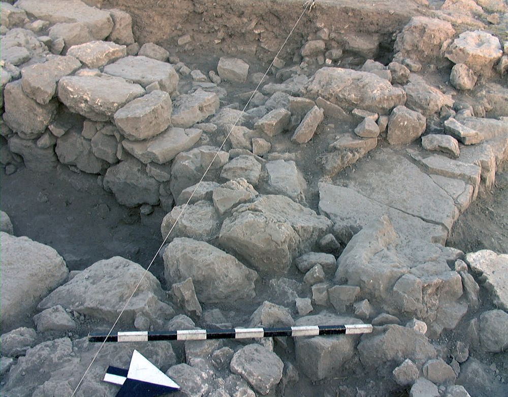
|
| 29 Jul, 1998 | 98H12395 | Progress |
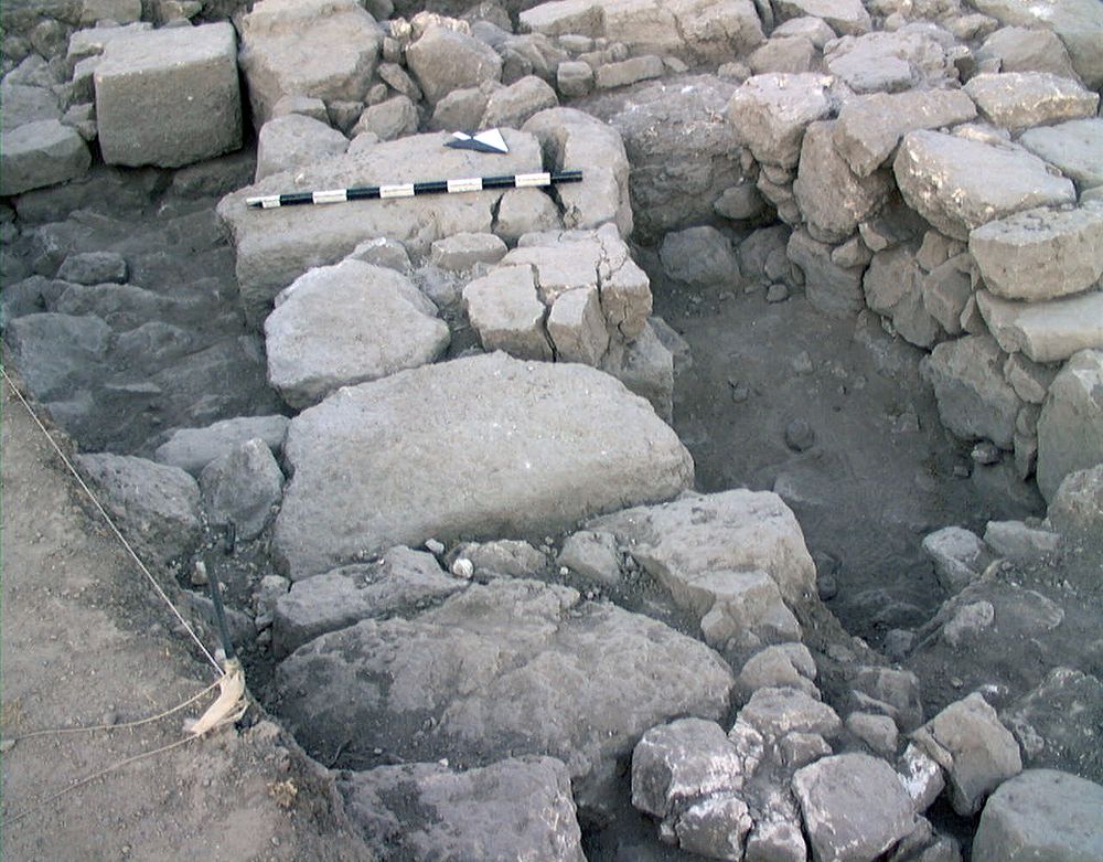
|
| 30 Jul, 1998 | 98H12413 | Progress |
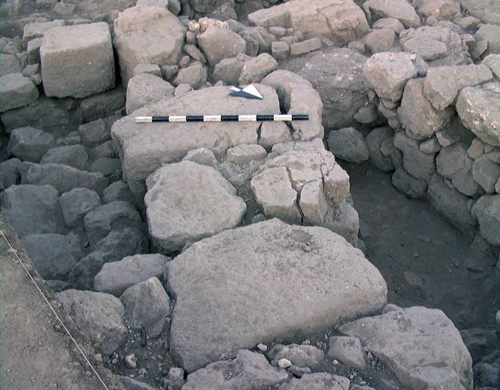
|
| 05 Aug, 1998 | 98H12486 | Final |
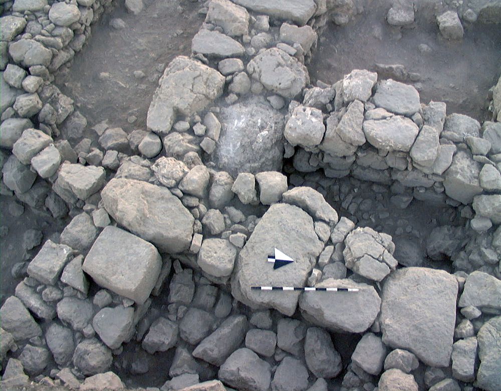
|
| 05 Aug, 1998 | 98H12487 | Final |
|