Locus D.5K97.027
General Information
Locus Type:
Architecture
Supervisor:
K. Rounsefell
Designation:
E-W wall
Reason:
Large flat stones with chink stones between
Top Separation:
Bottom Separation:
Start Date:
22 Jul, 1987
End Date:
23 Jul, 1987
Interpretation
Function:
Domestic E-W wall frag
Stratigraphy remarks:
Prob contemp to L 26, 34, 35; may be much older; because it was only partially uncovered, actual relationship to these loci is still unclear
Balk:
Phase:
Stratum :
Architecture Description
Material
chert Qualifier 1:
None
chert Qualifier 2:
chert Qualifier 3:
chert Percent:
5
Limestone Qualifier 1:
None
Limestone Qualifier 2:
Limesotne Qualifier 3:
Limestone Percent:
95
basalt Qualifier 1:
basalt Qualifier 2:
basalt Qualifier 3:
basalt Percent:
0
nari Qualifier 1:
nari Qualifier 2:
nari Qualifier 3:
nari Percent:
0
mudbrick Qualifier 1:
mudbrick Qualifier 2:
mudbrick Qualifier 3:
mudbrick Percent:
Arch Frags:
0
Fragment Type:
Quarry:
Wall Stones
Cobble (6-25 cm) %:
10
Small Boulder (25-50cm) %:
Medium Boulder (50-75cm) %:
0
Large Boulder (75-100cm) %:
0
Very Large Boulder (>1 m) %:
0
Chinkstones
Pebble (.2-6 cm) %:
100
Cobble (6-25 cm) %:
0
Fillstones: (in Rubble-filled Construction)
Cobble (6-25 cm) %:
100
Small Boulder (25-50cm) %:
0
Medium Boulder (50-75cm) %:
0
Large Boulder (75-100cm) %:
0
Very Large Boulder (>1 m) %:
0
Brick
Length (upper):
0.0
Length (lower):
0.0
Width (upper):
0.0
Width (lower):
0.0
Depth (upper):
0.0
Depth (lower):
0.0
Dressing: (Stone Only)
Unhewn %:
0
Semi-hewn %:
Dressed %:
0
Ashlar %:
0
Bossed %:
0
Tooling (Stone Only)
Upper Width:
0.0
Lower Width:
0.0
Upper Length:
0.0
Lower Length:
0.0
Sketch:
false
Photo:
false
Mortar
Dry-laid %:
100
Clay %:
0
Mud %:
0
Cement %:
0
Plaster %:
0
Average Thickness:
0.0
Facing
Facing:
Unfaced
Color:
Construction
Style:
Boulder & Chink
Support:
Free-standing
Tendencies:
Courses
Highest Count:
2
Lowest Count:
1
Random:
false
Rows
Highest Count:
3
Lowest Count:
2
Two with Rubble:
Random:
false
Measurements
Greatest Length in meters:
2.51
Greatest width in meters:
1
Smallest width in meters:
0.9
Greatest Height in meters:
0
Lowest Height in meters:
0.4
Orientation (degrees):
112
Dip (degrees):
0
Preservation
Preservation:
Robbed
Lean Direction (degrees):
0
Lean Degrees:
0
Top Foundation Level:
Remarks
Remarks:
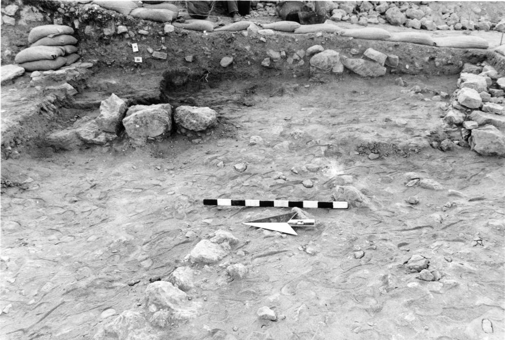
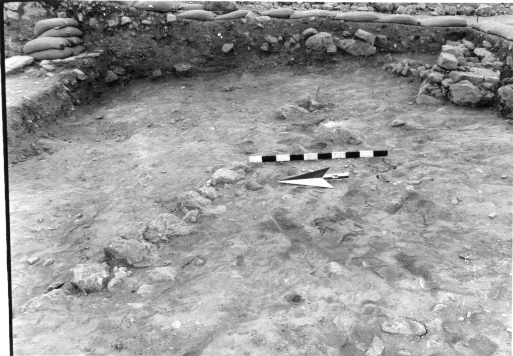
Only top 1-2 courses were uncovered during U87
Levels
| Location | Top Level | Bottom Level |
|---|---|---|
| 34 | 898.15 | 0 |
| 34 | 898.13 | 0 |
| 35 | 898.18 | 0 |
| 35 | 898.19 | 0 |
Stratigraphy
| Under | Earth layer | D5K97:026 |
| Sealed agnst by | Earth layer | D5K97:026 |
| Sealed agnst by | Installation | D5K97:032 |
| Sealed agnst by | Surface | D5K97:034 |
| Sealed agnst by | Surface | D5K97:035 |
| Sealed agnst by | Surface | D5K97:031 |
Pails
| Number | Date | Baskets | Total | Diagnostic | Published |
|---|
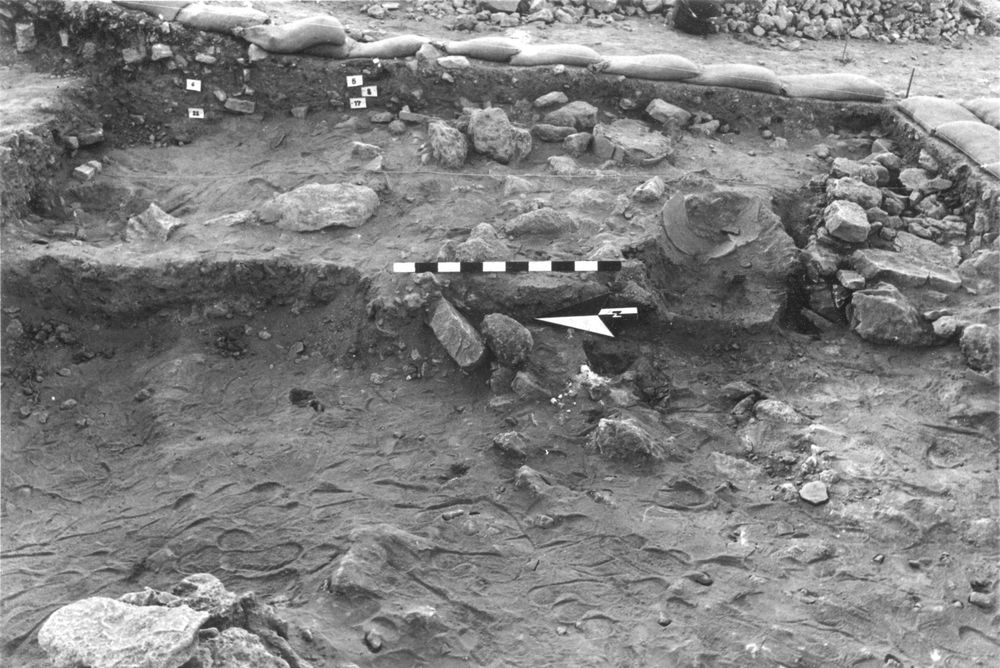
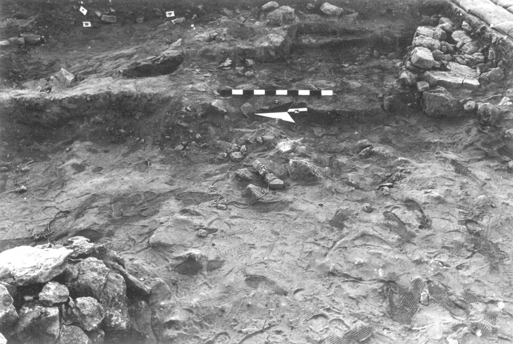
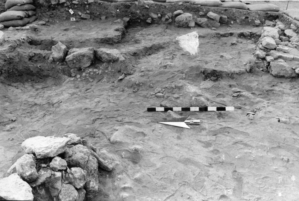
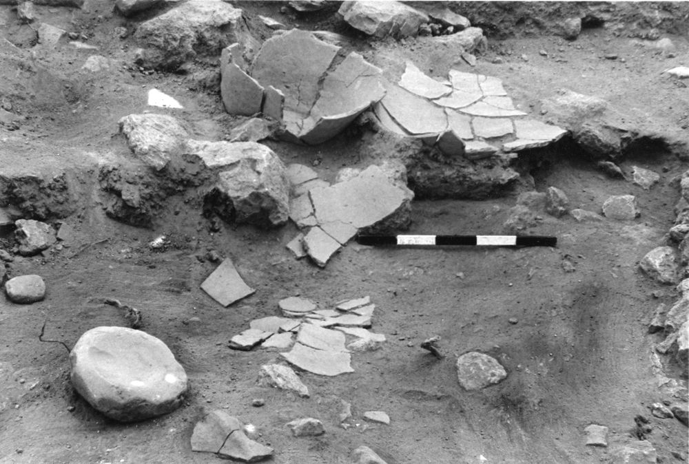
Photos
| Date | Photo Number | Subject | Photo |
|---|---|---|---|
| 28 Jul, 1987 | 87D96616 | Progress |
|
| 29 Jul, 1987 | 87D96618 | Progress |
|
| 30 Jul, 1987 | 87D96621 | Progress |
|
| 28 Jul, 1987 | 87D96617 | Progress |
|
| 31 Jul, 1987 | 87D96622 | Progress |
|
| 24 Jul, 1989 | 891D97005 | Progress |

|
| 19 Jul, 1989 | 892D97003 | Progress |
|
| 20 Jul, 1989 | 892D97004 | Progress |
|
| 03 Aug, 1987 | 87D96623 | Progress |
|
| 17 Jul, 1989 | 891D97001 | Cleanup |
|
| 25 Jul, 1989 | 891D97006 | Progress |
|
| 27 Jul, 1989 | 891D97008 | Progress |
|