Locus D.5K87.007
General Information
Locus Type:
Installation
Supervisor:
H. Curvers
Designation:
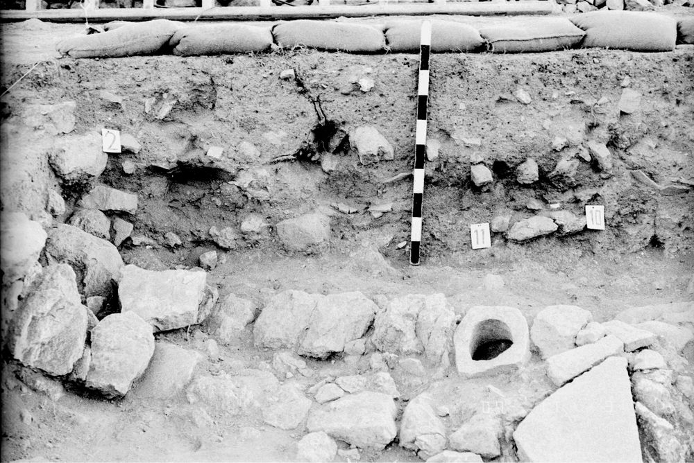
Occupational debris layer with ash near N balk
Reason:
Ashy
Top Separation:
Average
Bottom Separation:
Average
Start Date:
11 Jul, 1984
End Date:
11 Jul, 1984
Interpretation
Function:
Fire place or ash dump near N balk
Stratigraphy remarks:
Below the ashy fill layers the soil was heavily burned & had a red-brown color; ash spots occured everywhere; no evidence for digging a pit from L 3 or 4; may have been in use during both occupation levels
Balk:
Phase:
Stratum :
Installation Description
Type
Certain:
Probable:
Layer
Possible 1:
Possible 2:
Material
Limestone Qualifier 1:
Limestone Qualifier 2:
Limestone Percent:
Bedrock Qualifier 1:
Bedrock Qualifier 2:
Bedrock Percent:
0
Ceramic Qualifier 1:
Ceramic Qualifier 2:
Ceramic Percent:
0
Mud Qualifier 1:
Mud Qualifier 2:
Mud Percent:
Mudbrick Qualifier 1:
Mudbrick Qualifier 2:
Mudbrick Percent:
Nari Qualifier 1:
Nari Qualifier 2:
Nari Percent:
0
Plaster Qualifier 1:
Plaster Qualifier 2:
Plaster Percent:
0
Earth Qualifier 1:
None
Earth Qualifier 2:
Earth Percent:
100
Stone Qualifier 1:
Stone Qualifier 2:
Stone Percent:
0
Plan
Type:
Circular
Quality 1:
Quality 2:
Remarks:
Remains stil in balk
Lining
Lining:
None
Measurements
Greatest Length in meters:
170
Greatest width in meters:
0
Smallest width in meters:
90
Greatest Height in meters:
0
Lowest Height in meters:
0
Orientation (degrees):
0
Remarks
Remarks:
Small boulders on both sides point at a lining of a hearth with large boulders; the soil below bound by Walls 14B & 23; consists of burnt clay; L 12 & 19 contained plenty of burnt clay (red-brown)
Levels
| Location | Top Level | Bottom Level |
|---|---|---|
| 9 | 897.75 | 897.4 |
Stratigraphy
| Under | Earth layer | D5K87:003 |
| Over | Surface | D5K87:022 |
| Cuts | Earth layer | D5K87:004 |
| Cuts | Earth layer | D5K87:001 |
| Cuts | Earth layer | D5K87:009 |
| Fill Loci | Earth layer | D5K87:011 |
Pails
| Number | Date | Baskets | Total | Diagnostic | Published |
|---|
Photos
| Date | Photo Number | Subject | Photo |
|---|---|---|---|
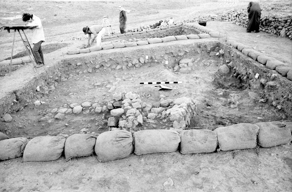
| 13 Jul, 1984 | 84D87236 | Progress |
|
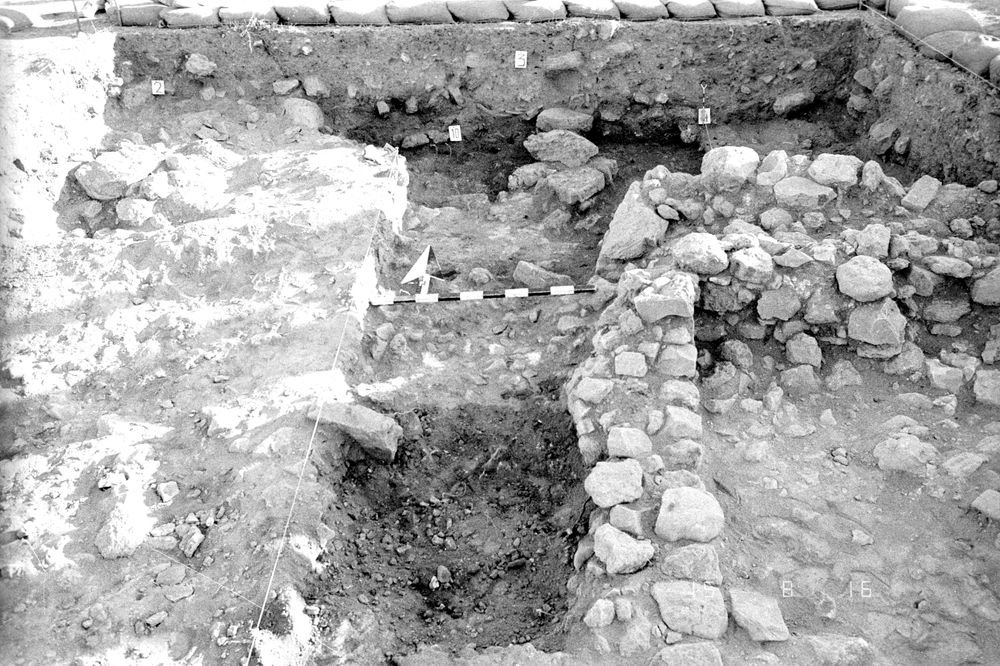
| 16 Jul, 1984 | 84D87256 | Progress |
|
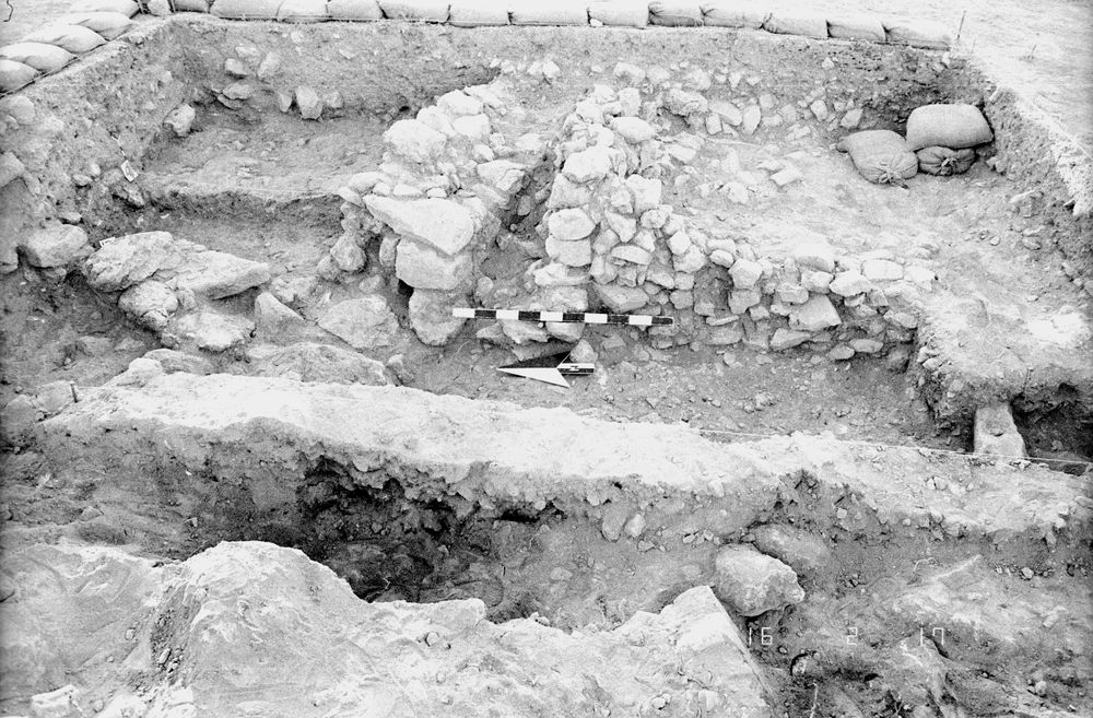
| 17 Jul, 1984 | 84D87282 | Progress |
|
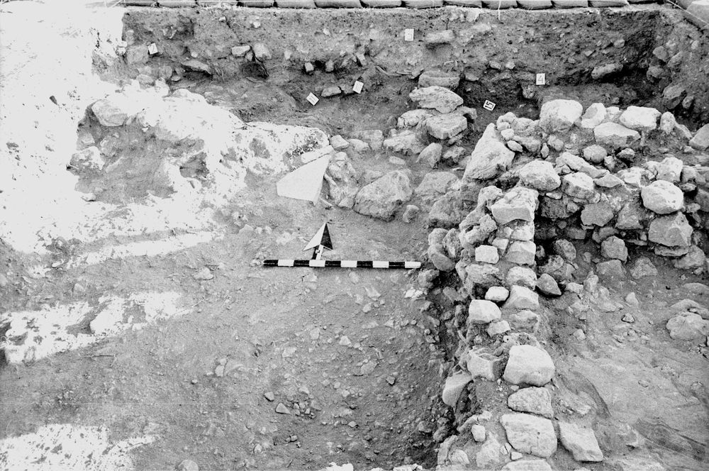
| 18 Jul, 1984 | 84D87305 | Progress |
|
| 03 Aug, 1984 | 84D87635 | N balk |
|