Locus C.8L82.031
General Information
Locus Type:
Earth
Supervisor:
J. Battenfield
Designation:
Ash layer
Reason:
Distinct, extensive blackened earth
Top Separation:
Bottom Separation:
Start Date:
31 Jul, 1987
End Date:
31 Jul, 1987
Interpretation
Function:
Poss ash from a cooking fire; pit was cut down through cobblestone pavement in association with fire pit; or ash layer with no pit at all & extends under Surf 24 widely in square
Stratigraphy remarks:
To be compared with 8L63:5 where EB burning/camp fire activity was also going on
Balk:
Phase:
Stratum :
Earth Description
Color
Munsell Number:
10YR 3/1
Texture
Texture:
Clay
Particle Shape A %:
0
Particle Shape AS %:
0
Particle Shape SR %:
80
Particle Shape R %:
20
Consistence
Hardness:
Loose
Compactness Description 1:
Loose
Compactness Degree 1:
very
Compactness Description 2:
Compactness Degree 2:
Wetness Description:
Dry
Wetness Degree:
very
Structure:
Random
Measurements
Length:
2
Width:
0.9
Upper Depth:
0
Lower Depth:
0
Downslope Direction:
195
Degree of Slope:
2
Surface Material
Surface Material:
Laminated Surface:
0
Stone Inclusions
Pebbles (2mm-6cm)/bskt:
150
Cobbles (6 - 25cm)/bskt:
25
Boulders (25 cm+)/bskt:
0
Stone Distribution:
Random
Earth Inclusions
Nari Frequency (per m2):
0
Nari Size (in m):
0
Brick Frequency (per m2):
20
Brick Size (in m):
0.03
Pebble Frequency (per m2):
0
Pebble Size (in m):
0
Ash Frequency (per m2):
100
Ash Size (in m):
0
Earth Distribution:
Random
Artifact Inclusions
Pottery Frequency:
Flint Frequency:
Glass Totals:
0
Tesserae Totals:
0
Tabun Fragments:
0
Brick Fragments:
0
Roof Tiles:
0
Worked Stones:
0
Burned Stones:
Unfired Clay:
Arch. Fragments:
Artifact Distribution:
Organic Inclusions
Bone Frequency:
Olive Pits per basket:
0
Burned Wood per basket:
30
Burnt Wood Avg Size in cm:
UD per basket:
0
UD SAvg Size in cm:
0
Distribution:
Random
Remarks
Remarks:
Burned sherds; ash may extend to E; present extent 90 cm with no sign of lensing out; discovered on last day of digging in U87; extent of layer has not been found; something may be between 31 & bedrock in Loca 19, though this has not been excavated
Levels
| Location | Top Level | Bottom Level |
|---|---|---|
| 19 | 890.44 | 0 |
Stratigraphy
| Under | Surface | C8L82:027 |
| Over | Bedrock | C8L82:030 |
| Seals against | Bedrock | C8L82:030 |
Pails
| Number | Date | Baskets | Total | Diagnostic | Published |
|---|
Photos
| Date | Photo Number | Subject | Photo |
|---|---|---|---|
| 03 Aug, 1987 | 87C82314 | Progress |
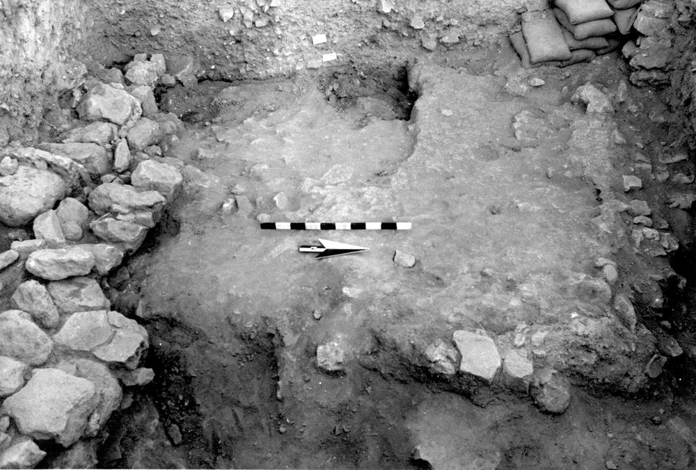
|
| 04 Aug, 1987 | 87A60039 | Final |
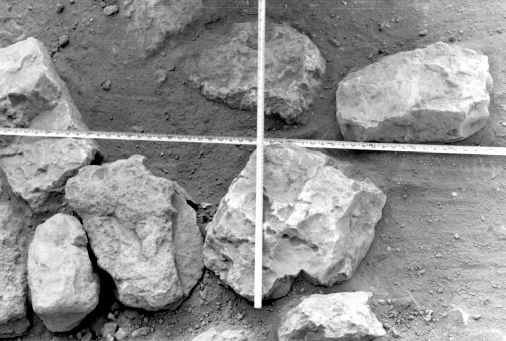
|