Locus B.7K82.034
General Information
Locus Type:
Architecture
Supervisor:
C. Rivers
Designation:
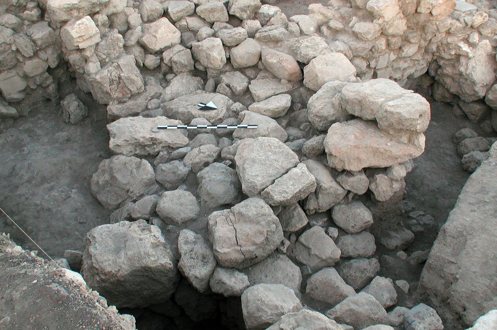
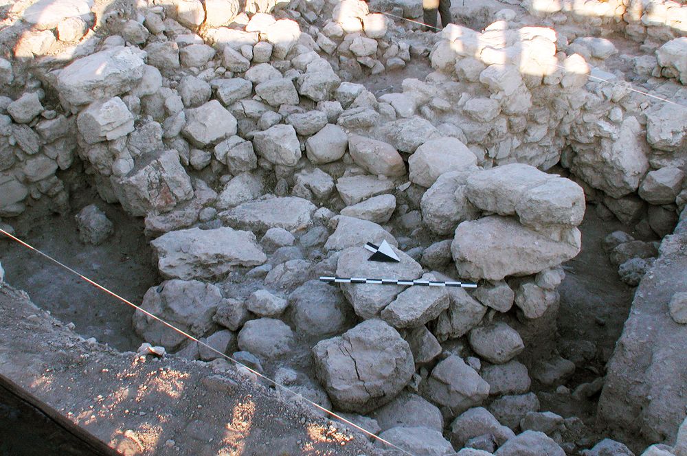
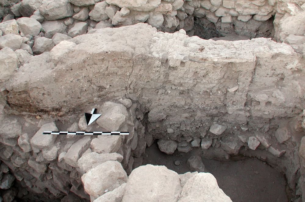
N-S wall
Reason:
Stones in a line under bricks
Top Separation:
Average
Bottom Separation:
Very Clear
Start Date:
03 Jul, 1998
End Date:
27 Jun, 2000
Interpretation
Function:
N-S wall; see 7K81:65
Stratigraphy remarks:
Adjoining & contemporary with Wall 13; L 24 partially comprises the destruction from this wall
Balk:
Phase:
Stratum :
Architecture Description
Material
chert Qualifier 1:
chert Qualifier 2:
chert Qualifier 3:
chert Percent:
0
Limestone Qualifier 1:
Decayed
Limestone Qualifier 2:
Burned
Limesotne Qualifier 3:
Limestone Percent:
100
basalt Qualifier 1:
basalt Qualifier 2:
basalt Qualifier 3:
basalt Percent:
0
nari Qualifier 1:
nari Qualifier 2:
nari Qualifier 3:
nari Percent:
0
mudbrick Qualifier 1:
mudbrick Qualifier 2:
mudbrick Qualifier 3:
mudbrick Percent:
Arch Frags:
0
Fragment Type:
Quarry:
Wall Stones
Cobble (6-25 cm) %:
0
Small Boulder (25-50cm) %:
Medium Boulder (50-75cm) %:
50
Large Boulder (75-100cm) %:
0
Very Large Boulder (>1 m) %:
0
Chinkstones
Pebble (.2-6 cm) %:
50
Cobble (6-25 cm) %:
50
Fillstones: (in Rubble-filled Construction)
Cobble (6-25 cm) %:
0
Small Boulder (25-50cm) %:
0
Medium Boulder (50-75cm) %:
0
Large Boulder (75-100cm) %:
0
Very Large Boulder (>1 m) %:
0
Brick
Length (upper):
0.0
Length (lower):
0.0
Width (upper):
0.0
Width (lower):
0.0
Depth (upper):
0.0
Depth (lower):
0.0
Dressing: (Stone Only)
Unhewn %:
50
Semi-hewn %:
Dressed %:
0
Ashlar %:
0
Bossed %:
0
Tooling (Stone Only)
Upper Width:
0.0
Lower Width:
0.0
Upper Length:
0.0
Lower Length:
0.0
Sketch:
false
Photo:
false
Mortar
Dry-laid %:
0
Clay %:
0
Mud %:
0
Cement %:
0
Plaster %:
0
Average Thickness:
0.0
Facing
Facing:
Unfaced
Color:
Construction
Style:
Boulder & Chink
Support:
Free-standing
Tendencies:
Courses
Highest Count:
0
Lowest Count:
1
Random:
false
Rows
Highest Count:
0
Lowest Count:
2
Two with Rubble:
Random:
false
Measurements
Greatest Length in meters:
1.1
Greatest width in meters:
0
Smallest width in meters:
0.55
Greatest Height in meters:
0
Lowest Height in meters:
0
Orientation (degrees):
0
Dip (degrees):
0
Preservation
Preservation:
Partial Superstructure: Little
Lean Direction (degrees):
0
Lean Degrees:
0
Top Foundation Level:
0.0
Remarks
Remarks:
Burned bricks on top suggest a brick superstructure; may be an opening in N, later filled in by debris; reassigned to 7K81:65 in U00
Levels
| Location | Top Level | Bottom Level |
|---|---|---|
| 13 | 912.48 | 911.7 |
Stratigraphy
| Under | Earth layer | B7K82:002 |
| Under | Earth layer | B7K82:024 |
| Over | Wall | B7K82:035 |
| Sealed agnst by | Earth layer | B7K82:024 |
| Bonded to | Wall | B7K82:013 |
| Equals | Wall | B7K81:065 |
Pails
| Number | Date | Baskets | Total | Diagnostic | Published |
|---|
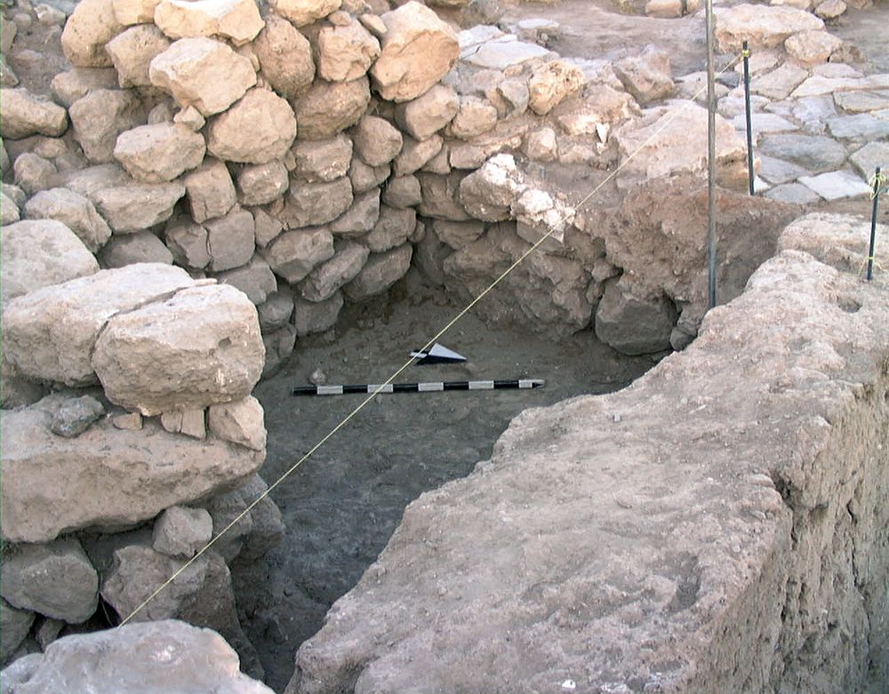
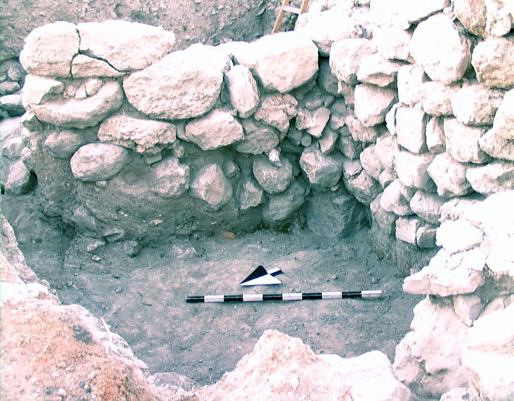
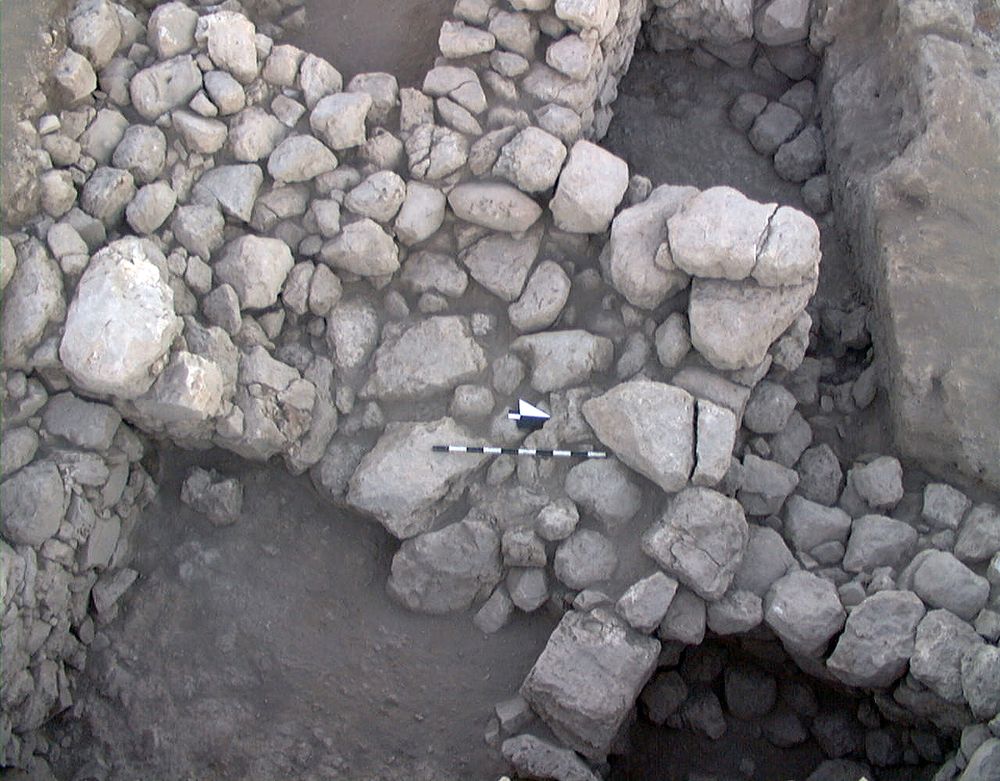
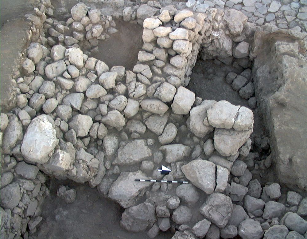
Photos
| Date | Photo Number | Subject | Photo |
|---|---|---|---|
| 31 Jul, 1998 | 98B82442 | Progress |
|
| 03 Aug, 1998 | 98B82452 | Progress |
|
| 05 Aug, 1998 | 98B82491 | Final |
|
| 05 Aug, 1998 | 98B82492 | Final |
|
| 31 Jul, 1998 | 98B82446 | Progress |

|
| 27 Jun, 2000 | 00B82025 | Progress |
|
| 26 Jun, 2000 | 00B82009 | Pre-excavation |
|
| 19 Jul, 2000 | 00B82367 | Progress |
|
| 18 Jul, 2000 | 98B82341 | Progress |
|
| 27 Jun, 2000 | 98B82025 | Progress |
|