Locus B.7K81.031
General Information
Locus Type:
Earth
Supervisor:
C. Draper
Designation:
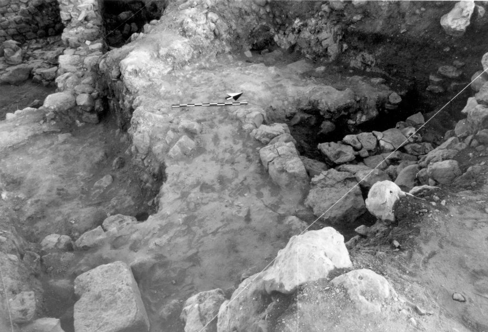
Mudbrick destruction debris in NE corner
Reason:
On top of Wall 32
Top Separation:
Average
Bottom Separation:
Clear
Start Date:
01 Jul, 1994
End Date:
25 Jul, 1994
Interpretation
Function:
Mudbrick debris atop Wall 32, perhaps at bottom of Pit
Stratigraphy remarks:
Under Fill 27, over N end of Wall 32; fills in area between N side of Pavement 26 & N balk
Balk:
Phase:
Stratum :
Earth Description
Color
Munsell Number:
7.5YR 6/3
Texture
Texture:
Sand clay loam-Silty clay loam
Particle Shape A %:
20
Particle Shape AS %:
30
Particle Shape SR %:
30
Particle Shape R %:
20
Consistence
Hardness:
S. Loose
Compactness Description 1:
Friable
Compactness Degree 1:
very
Compactness Description 2:
Compactness Degree 2:
Wetness Description:
Dry
Wetness Degree:
somewhat
Structure:
Random
Measurements
Length:
0.83
Width:
0.7
Upper Depth:
0
Lower Depth:
0.24
Downslope Direction:
0
Degree of Slope:
0
Surface Material
Surface Material:
Laminated Surface:
0
Stone Inclusions
Pebbles (2mm-6cm)/bskt:
320
Cobbles (6 - 25cm)/bskt:
12
Boulders (25 cm+)/bskt:
0.5
Stone Distribution:
Random
Earth Inclusions
Nari Frequency (per m2):
0
Nari Size (in m):
0
Brick Frequency (per m2):
2
Brick Size (in m):
0.15
Pebble Frequency (per m2):
0
Pebble Size (in m):
0
Ash Frequency (per m2):
0
Ash Size (in m):
0
Earth Distribution:
Random
Artifact Inclusions
Pottery Frequency:
0
Flint Frequency:
0
Glass Totals:
0
Tesserae Totals:
0
Tabun Fragments:
0
Brick Fragments:
75
Roof Tiles:
0
Worked Stones:
0
Burned Stones:
Unfired Clay:
Arch. Fragments:
Artifact Distribution:
Random
Organic Inclusions
Bone Frequency:
Olive Pits per basket:
0
Burned Wood per basket:
0
Burnt Wood Avg Size in cm:
UD per basket:
0
UD SAvg Size in cm:
0
Distribution:
Remarks
Remarks:
Very compacted & level below removal of original mounded material; fills space between N side of flagstone Pavement 26 where pavers seemed to be removed above N end of Wall 32; may have been fill in a later pit that was missed in earlier excavation & was seen in the N balk before balk removal; also in E balk
Levels
| Location | Top Level | Bottom Level |
|---|---|---|
| 11 | 912.82 | 912.58 |
Stratigraphy
| Under | Earth layer | B7K81:027 |
| Over | Wall | B7K81:032 |
Pails
| Number | Date | Baskets | Total | Diagnostic | Published |
|---|---|---|---|---|---|
| 90 | 01 Jul, 1994 | 0 | 5 | 0 | 0 |
| 94 | 04 Jul, 1994 | 10 | 9 | 0 | 0 |
Photos
| Date | Photo Number | Subject | Photo |
|---|---|---|---|
| 04 Jul, 1994 | 94B81101 | Progress |
|