Locus B.7J89.043
General Information
Locus Type:
Earth
Supervisor:
D. Holloway
Designation:
Limestone rock fill
Reason:
More rocks
Top Separation:
Clear
Bottom Separation:
Very Clear
Start Date:
14 Jul, 1994
End Date:
21 Jul, 1994
Interpretation
Function:
Rubble dumped onto MB rampart crest when preparing for EIR1 Surf 33
Stratigraphy remarks:
With construction of Wall 22
Balk:
Phase:
Stratum :
Earth Description
Color
Munsell Number:
5YR 8/1
Texture
Texture:
Loam-Silt loam
Particle Shape A %:
40
Particle Shape AS %:
40
Particle Shape SR %:
10
Particle Shape R %:
10
Consistence
Hardness:
Very Loose
Compactness Description 1:
Loose
Compactness Degree 1:
very
Compactness Description 2:
Compactness Degree 2:
Wetness Description:
Wetness Degree:
Structure:
Random
Measurements
Length:
2.2
Width:
1
Upper Depth:
1.28
Lower Depth:
0.3
Downslope Direction:
0
Degree of Slope:
58
Surface Material
Surface Material:
Laminated Surface:
0
Stone Inclusions
Pebbles (2mm-6cm)/bskt:
1200
Cobbles (6 - 25cm)/bskt:
15
Boulders (25 cm+)/bskt:
0
Stone Distribution:
Random
Earth Inclusions
Nari Frequency (per m2):
0
Nari Size (in m):
0
Brick Frequency (per m2):
0
Brick Size (in m):
0
Pebble Frequency (per m2):
0
Pebble Size (in m):
0
Ash Frequency (per m2):
0
Ash Size (in m):
0
Earth Distribution:
Artifact Inclusions
Pottery Frequency:
Flint Frequency:
Glass Totals:
0
Tesserae Totals:
0
Tabun Fragments:
0
Brick Fragments:
0
Roof Tiles:
0
Worked Stones:
0
Burned Stones:
Unfired Clay:
Arch. Fragments:
Artifact Distribution:
Organic Inclusions
Bone Frequency:
Olive Pits per basket:
0
Burned Wood per basket:
0
Burnt Wood Avg Size in cm:
UD per basket:
0
UD SAvg Size in cm:
0
Distribution:
Remarks
Remarks:
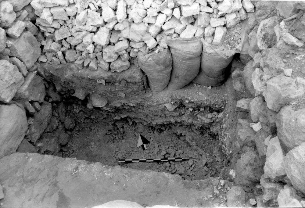
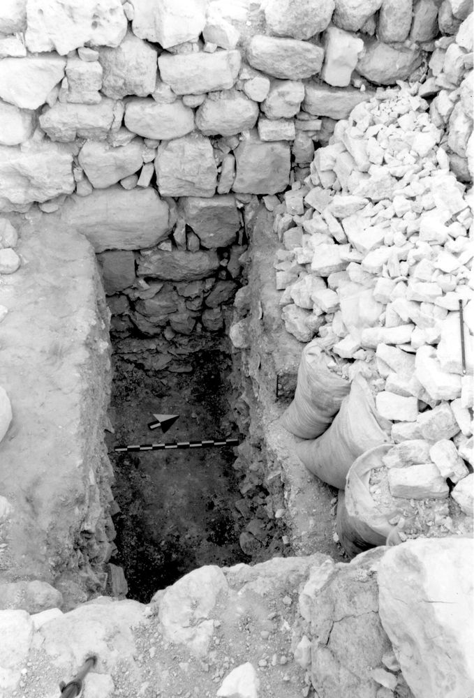
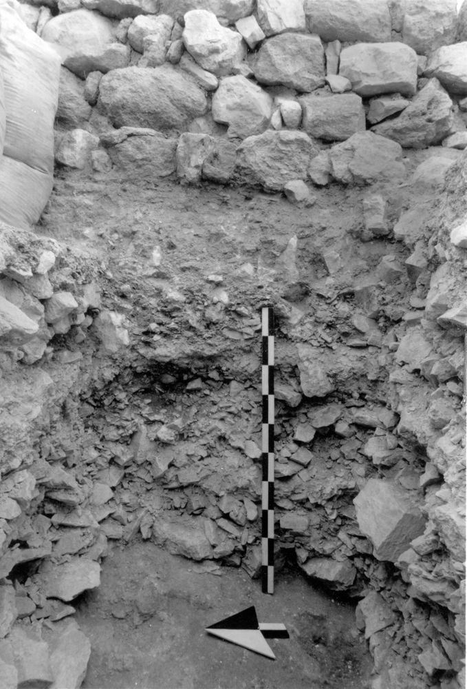
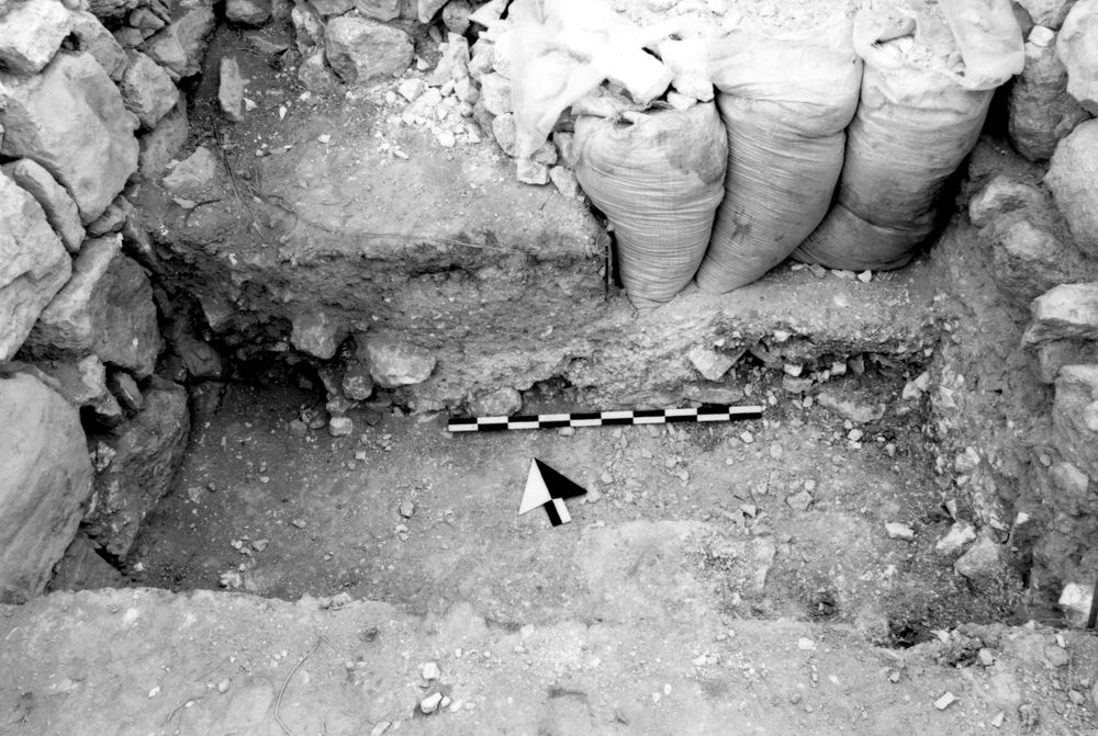
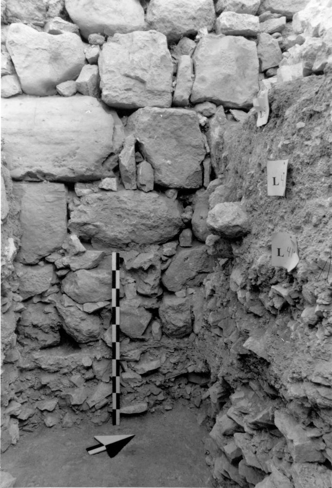
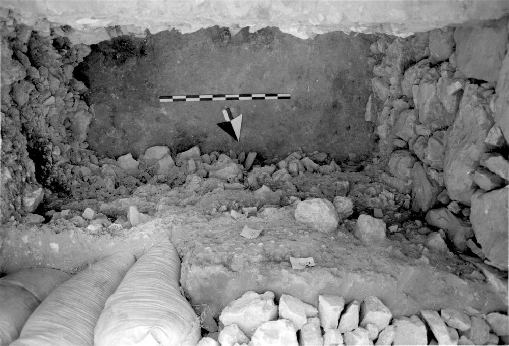
Color & texture refer only to the rock dust found among the stones; the limestone rock was angular in shape & appeared to be freshly quarried; very few rock chips & dust were found & absolutely no soil had filtered into the rock debris; most of the stones were between 10 & 20 cm in size & resembled the remains left over after one has broken limestone rocks with a sledge hammer; the rock fill was also exposed under Wall 22 from the W side; the top of the rock outside the defensive wall was 910.02 & the bottom 909 68
Levels
| Location | Top Level | Bottom Level |
|---|---|---|
| 14 | 910.39 | 909.59 |
| 21 | 910.52 | 909.69 |
| 22 | 911.13 | 909.96 |
Stratigraphy
| Under | Earth layer | B7J89:042 |
| Over | Surface | B7J89:044 |
Pails
| Number | Date | Baskets | Total | Diagnostic | Published |
|---|
Photos
| Date | Photo Number | Subject | Photo |
|---|---|---|---|
| 18 Jul, 1994 | 94B89180 | Progress |
|
| 20 Jul, 1994 | 94B89181 | Progress |
|
| 23 Jul, 1994 | 94B89183 | Final from W |
|
| 18 Jul, 1994 | 94B89179 | Progress |
|
| 21 Jul, 1994 | 94B89182 | Final from E |
|
| 21 Jul, 1994 | 94B89184 | Final from S |
|