Locus B.7J89.017
General Information
Locus Type:
Earth
Supervisor:
R. LaCom
Designation:
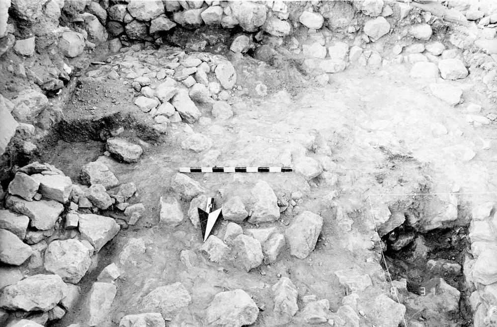
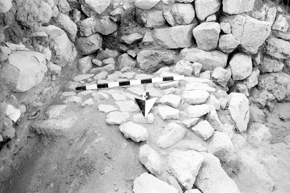
Cobble surface
Reason:
Flat lying cobble stones
Top Separation:
Clear
Bottom Separation:
Clear
Start Date:
26 Jul, 1984
End Date:
31 Jul, 1984
Interpretation
Function:
Cobble floor for a room or a courtyard; perhaps a stairway or walkway
Stratigraphy remarks:
The layers from Surf 17 on up (18, 14, 13, 12, 6 & maybe 3) appear to be more or less limited by Walls 4 & 5;or when Walls 4 & 5 were built, the loci below were disturbed; 17 may be contemporary with Cobble Surf 21; 17 is contemporary with Surf 20
Balk:
Phase:
Stratum :
Earth Description
Color
Munsell Number:
Texture
Texture:
Particle Shape A %:
0
Particle Shape AS %:
0
Particle Shape SR %:
0
Particle Shape R %:
0
Consistence
Hardness:
Hard
Compactness Description 1:
Compactness Degree 1:
Compactness Description 2:
Compactness Degree 2:
Wetness Description:
Wetness Degree:
Structure:
Measurements
Length:
1.7
Width:
1.37
Upper Depth:
0.11
Lower Depth:
0.04
Downslope Direction:
0
Degree of Slope:
0
Surface Material
Surface Material:
Cobbles
Laminated Surface:
0
Stone Inclusions
Pebbles (2mm-6cm)/bskt:
0
Cobbles (6 - 25cm)/bskt:
0
Boulders (25 cm+)/bskt:
0
Stone Distribution:
Earth Inclusions
Nari Frequency (per m2):
0
Nari Size (in m):
0
Brick Frequency (per m2):
0
Brick Size (in m):
0
Pebble Frequency (per m2):
0
Pebble Size (in m):
0
Ash Frequency (per m2):
0
Ash Size (in m):
0
Earth Distribution:
Artifact Inclusions
Pottery Frequency:
Flint Frequency:
Glass Totals:
0
Tesserae Totals:
0
Tabun Fragments:
0
Brick Fragments:
0
Roof Tiles:
0
Worked Stones:
0
Burned Stones:
Unfired Clay:
Arch. Fragments:
Artifact Distribution:
Organic Inclusions
Bone Frequency:
Olive Pits per basket:
0
Burned Wood per basket:
0
Burnt Wood Avg Size in cm:
UD per basket:
0
UD SAvg Size in cm:
0
Distribution:
Remarks
Remarks:
See L 23 for pottery beneath Surf 17; partially robbed or destroyed on W & N
Levels
| Location | Top Level | Bottom Level |
|---|---|---|
| 26 | 913.37 | 913.33 |
| 29 | 913.35 | 913.2 |
| 34 | 913.35 | 913.25 |
| 35 | 913.35 | 913.23 |
Stratigraphy
| Under | Surface | B7J89:006 |
| Under | Earth layer | B7J89:012 |
| Under | Surface | B7J89:013 |
| Under | Surface | B7J89:014 |
| Under | Surface | B7J89:018 |
| Over | Earth layer | B7J89:019 |
| Over | Wall | B7J89:011 |
| Over | Earth layer | B7J89:023 |
Pails
| Number | Date | Baskets | Total | Diagnostic | Published |
|---|
Photos
| Date | Photo Number | Subject | Photo |
|---|---|---|---|
| 26 Jul, 1984 | 84B89434 | Progress |
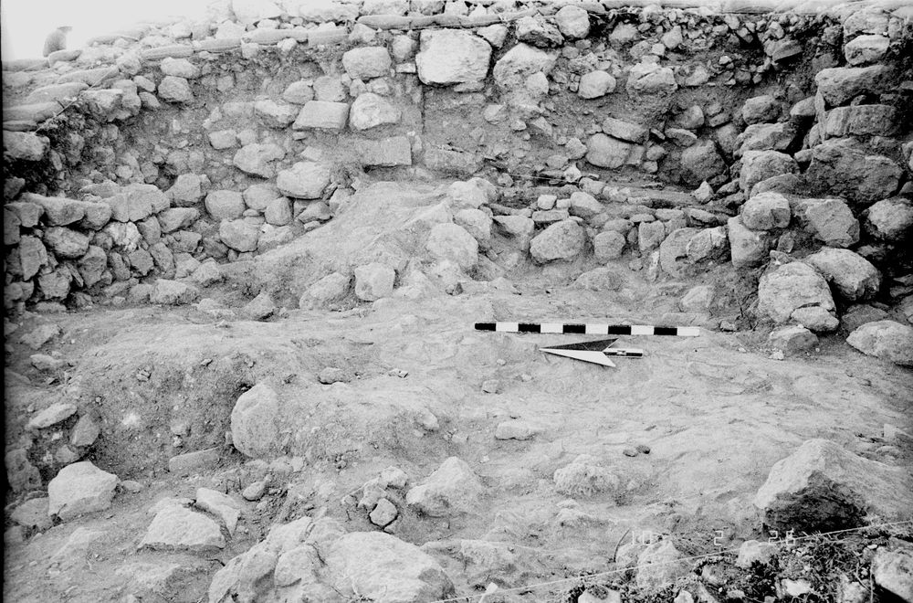
|
| 27 Jul, 1984 | 84B89453 | Progress |
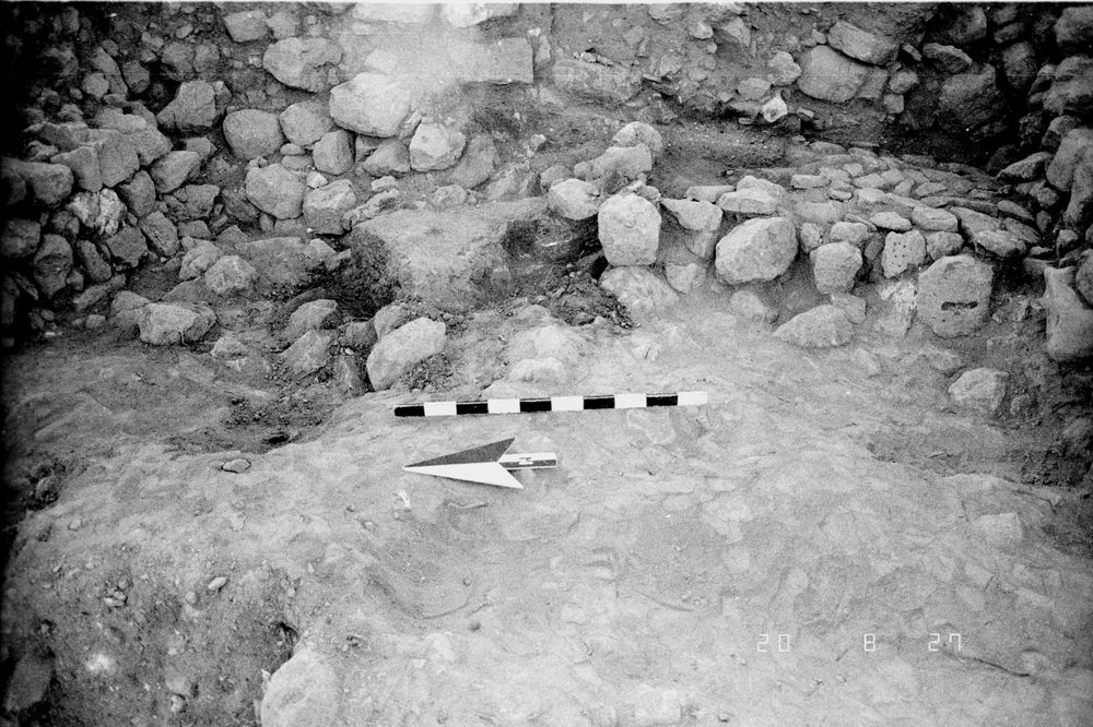
|
| 27 Jul, 1984 | 84B89454 | Cobble floor |
|
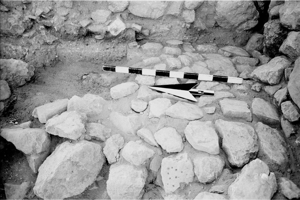
| 30 Jul, 1984 | 84B89486 | Progress |
|
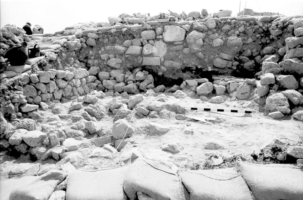
| 31 Jul, 1984 | 84B89526 | Progress |
|
| 31 Jul, 1984 | 84B89530 | Cobbles |
|