Locus A.7K71.032
General Information
Locus Type:
Earth
Supervisor:
D. Holloway
Designation:
Bricky debris
Reason:
Full of bricky fragments
Top Separation:
Very Clear
Bottom Separation:
Clear
Start Date:
29 Jun, 1994
End Date:
12 Jul, 1994
Interpretation
Function:
IR1 destruction layer common to Fields A & B
Stratigraphy remarks:
Sealed against Wwall 24
Balk:
Phase:
Stratum :
Earth Description
Color
Munsell Number:
7.5YR 4/4
Texture
Texture:
Sand clay loam-Silty clay loam
Particle Shape A %:
20
Particle Shape AS %:
20
Particle Shape SR %:
30
Particle Shape R %:
30
Consistence
Hardness:
Very Hard
Compactness Description 1:
Firm
Compactness Degree 1:
very
Compactness Description 2:
Compactness Degree 2:
Wetness Description:
Dry
Wetness Degree:
moderately
Structure:
Random
Measurements
Length:
4.73
Width:
2.7
Upper Depth:
0
Lower Depth:
0
Downslope Direction:
188
Degree of Slope:
10
Surface Material
Surface Material:
Laminated Surface:
0
Stone Inclusions
Pebbles (2mm-6cm)/bskt:
450
Cobbles (6 - 25cm)/bskt:
6
Boulders (25 cm+)/bskt:
0.5
Stone Distribution:
Random
Earth Inclusions
Nari Frequency (per m2):
0
Nari Size (in m):
0
Brick Frequency (per m2):
8
Brick Size (in m):
0
Pebble Frequency (per m2):
0
Pebble Size (in m):
0
Ash Frequency (per m2):
8
Ash Size (in m):
0
Earth Distribution:
Random
Artifact Inclusions
Pottery Frequency:
Flint Frequency:
Glass Totals:
0
Tesserae Totals:
0
Tabun Fragments:
0
Brick Fragments:
0
Roof Tiles:
0
Worked Stones:
0
Burned Stones:
Unfired Clay:
Arch. Fragments:
Artifact Distribution:
Organic Inclusions
Bone Frequency:
Olive Pits per basket:
0
Burned Wood per basket:
0
Burnt Wood Avg Size in cm:
UD per basket:
0
UD SAvg Size in cm:
0
Distribution:
Remarks
Remarks:
Original L 32 extended S until it was covered by rock debris &L 30; when the debris & 30 was removed, the bricky destruction layer now was evident under all of 30; a probe was dug along the W face of Wall 24 & it showed L 32 sealing against Wall 24 in some places, probably as a result of falling bricks hitting the wall; in other places loose soil was evident which may have been a result of natural fill, not a FT for Wall 24; later extended to cover all of the SW quadrant except for L 39; the material found in 32 is similar in description and content to that of 39
Levels
| Location | Top Level | Bottom Level |
|---|---|---|
| 9 | 912.79 | 0 |
| 15 | 912.66 | 0 |
| 21 | 912.29 | 0 |
Stratigraphy
| Under | Earth layer | A7K71:031 |
| Under | Earth layer | A7K71:030 |
| Under | Wall | A7K71:041 |
| Over | Wall | A7K71:040 |
| Equals | Earth layer | A7K71:039 |
| Seals against | Installation | A7K71:038 |
| Seals against | Wall | A7K71:024 |
| Cut by | FT | A7K71:036 |
Pails
| Number | Date | Baskets | Total | Diagnostic | Published | ||||||||||||||||||||||||
|---|---|---|---|---|---|---|---|---|---|---|---|---|---|---|---|---|---|---|---|---|---|---|---|---|---|---|---|---|---|
| 84 | 05 Jul, 1994 | 34 | 5 | 1 | 0 | ||||||||||||||||||||||||
Pottery Readings
|
|||||||||||||||||||||||||||||
| 86 | 06 Jul, 1994 | 61 | 10 | 1 | 0 | ||||||||||||||||||||||||
Pottery Readings
|
|||||||||||||||||||||||||||||
| 87 | 07 Jul, 1994 | 67 | 36 | 4 | 2 | ||||||||||||||||||||||||
Pottery Readings
|
|||||||||||||||||||||||||||||
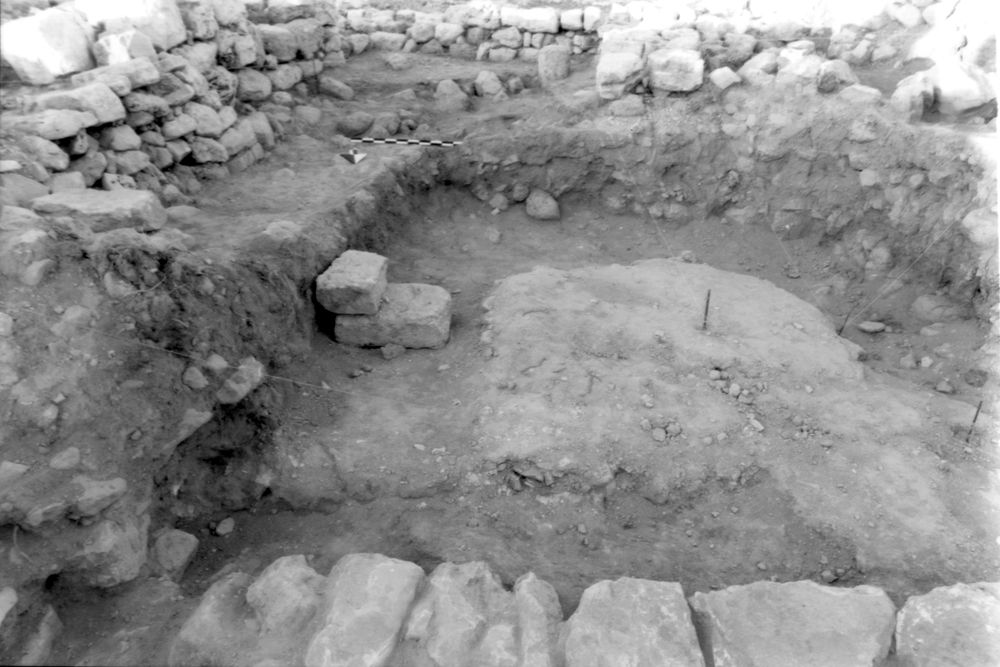
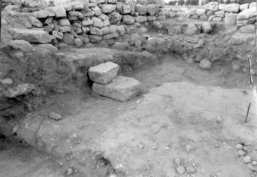
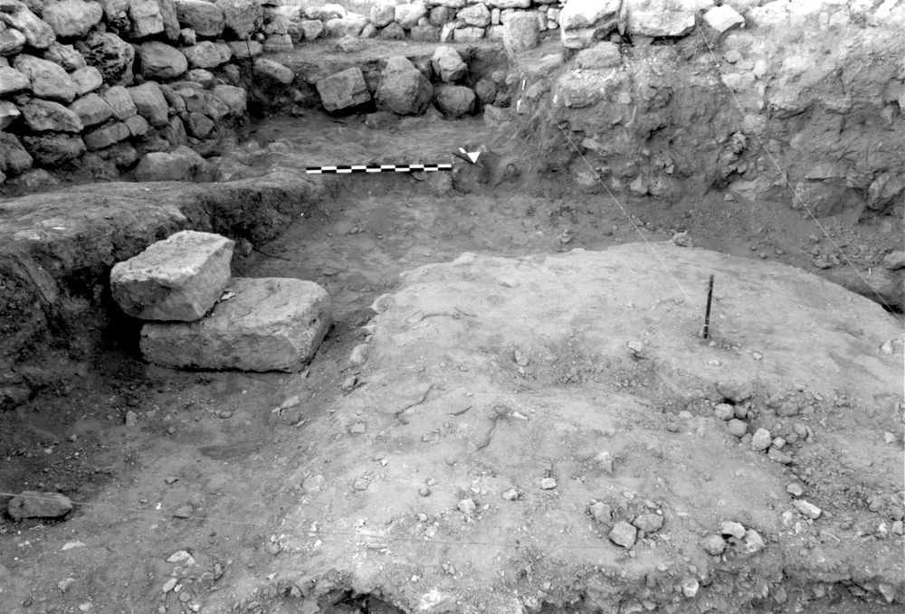
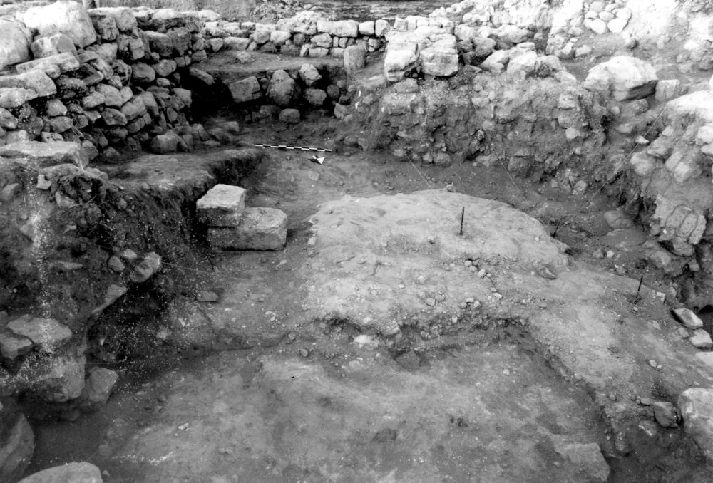
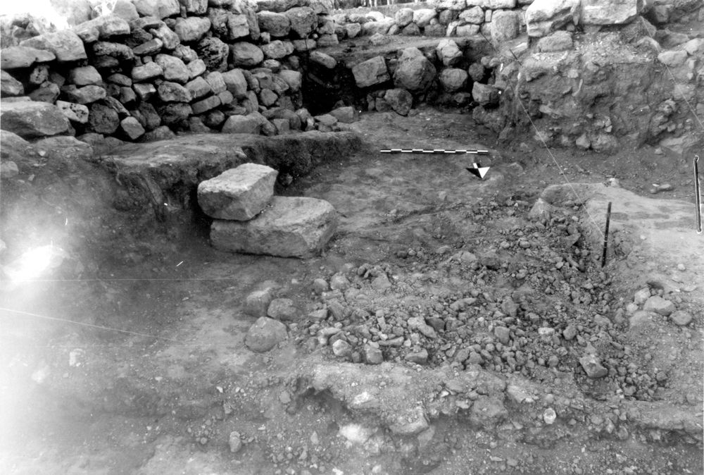
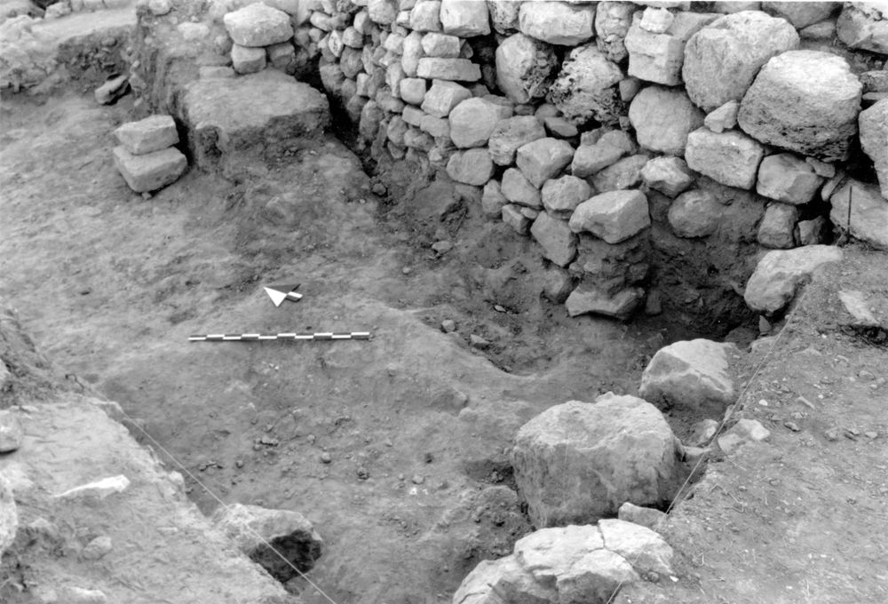
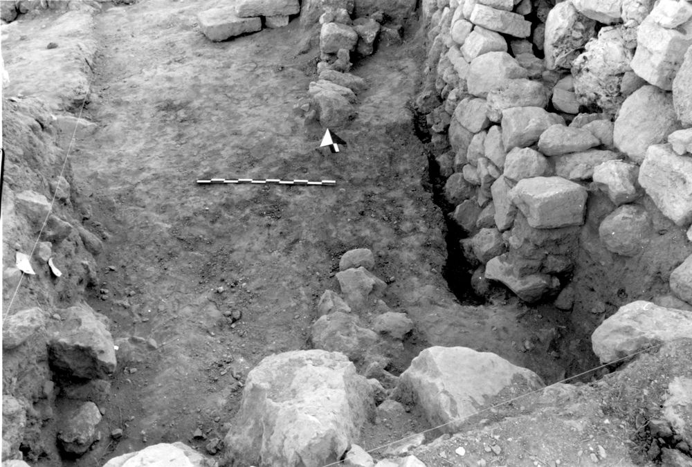
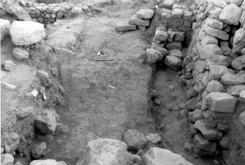
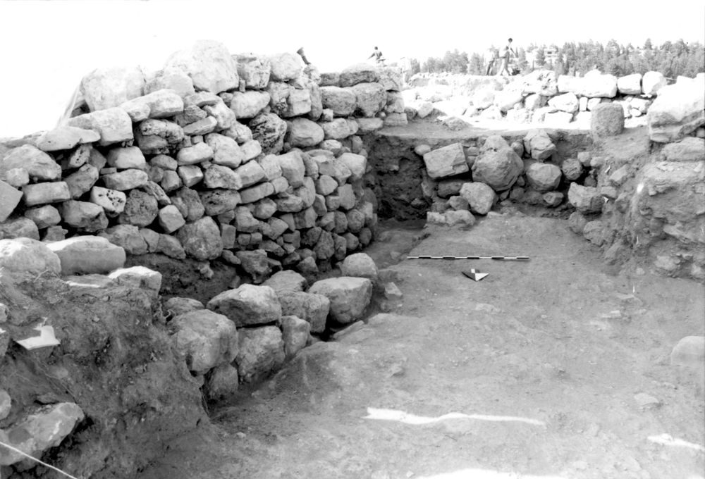
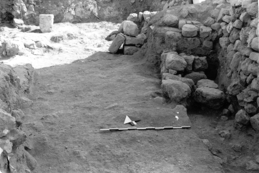
Photos
| Date | Photo Number | Subject | Photo |
|---|---|---|---|
| 29 Jun, 1994 | 94A70042 | Progress |
|
| 30 Jun, 1994 | 94A70043 | Progress |
|
| 01 Jul, 1994 | 94A70044 | Progress |
|
| 04 Jul, 1994 | 94A70045 | Progress |
|
| 05 Jul, 1994 | 94A70046 | Progress |
|
| 06 Jul, 1994 | 94A70049 | Progress |
|
| 07 Jul, 1994 | 94A70050 | Progress |
|
| 11 Jul, 1994 | 94A70051 | Progress |

|
| 12 Jul, 1994 | 94A70054 | Progress |
|
| 12 Jul, 1994 | 94A70055 | Final photo from N |
|
| 12 Jul, 1994 | 94A70056 | Final photo from S |
|