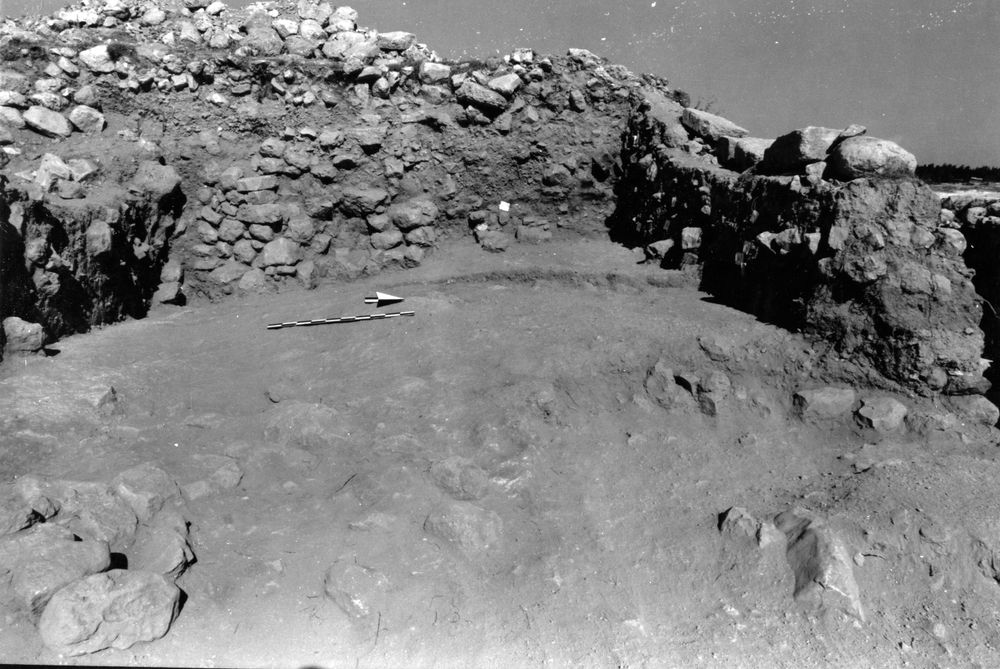
Locus A.7K70.026
General Information
Locus Type:
Architecture
Supervisor:
D. Berge
Designation:
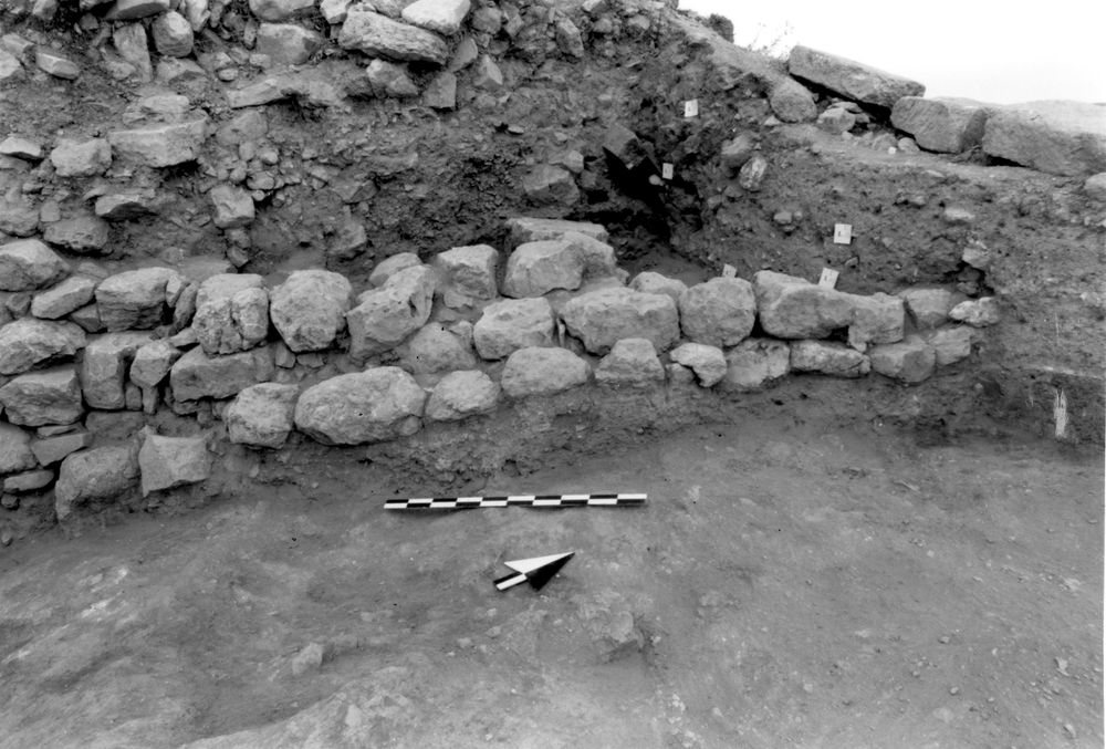
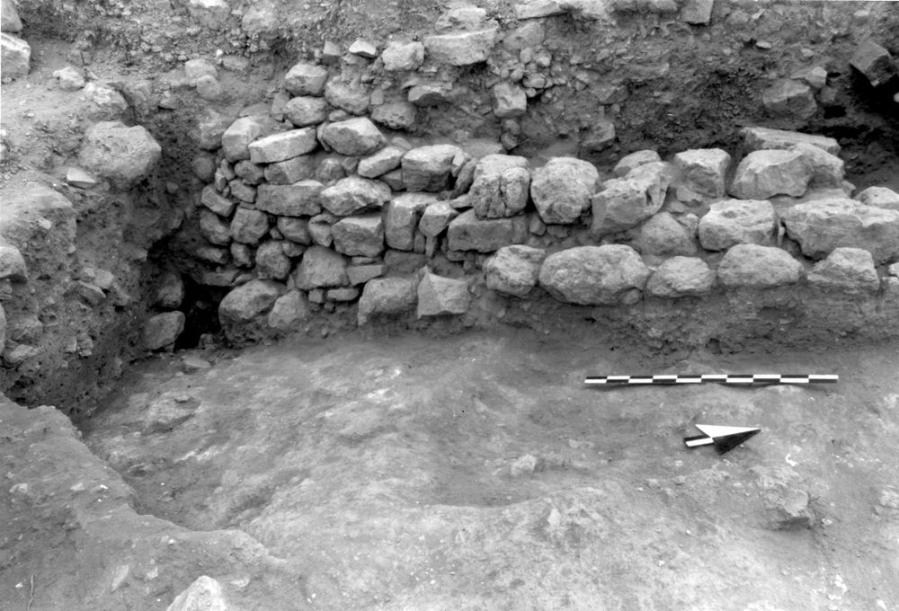
N-S wall running into N balk
Reason:
Stones in a line
Top Separation:
Clear
Bottom Separation:
Clear
Start Date:
30 Jun, 1994
End Date:
19 Jul, 1994
Interpretation
Function:
Poss exterior wall for a structure to the W; appears to be divided into two rooms
Stratigraphy remarks:
Apparently founded on IR1 destruction debris; latest phase of IR1, poss extending into EIR2
Balk:
Phase:
Stratum :
Architecture Description
Material
chert Qualifier 1:
Hard
chert Qualifier 2:
chert Qualifier 3:
chert Percent:
5
Limestone Qualifier 1:
Hard
Limestone Qualifier 2:
Soft
Limesotne Qualifier 3:
Limestone Percent:
95
basalt Qualifier 1:
basalt Qualifier 2:
basalt Qualifier 3:
basalt Percent:
0
nari Qualifier 1:
nari Qualifier 2:
nari Qualifier 3:
nari Percent:
0
mudbrick Qualifier 1:
mudbrick Qualifier 2:
mudbrick Qualifier 3:
mudbrick Percent:
Arch Frags:
0
Fragment Type:
Quarry:
Wall Stones
Cobble (6-25 cm) %:
13
Small Boulder (25-50cm) %:
Medium Boulder (50-75cm) %:
60
Large Boulder (75-100cm) %:
2
Very Large Boulder (>1 m) %:
0
Chinkstones
Pebble (.2-6 cm) %:
25
Cobble (6-25 cm) %:
75
Fillstones: (in Rubble-filled Construction)
Cobble (6-25 cm) %:
0
Small Boulder (25-50cm) %:
0
Medium Boulder (50-75cm) %:
0
Large Boulder (75-100cm) %:
0
Very Large Boulder (>1 m) %:
0
Brick
Length (upper):
0.0
Length (lower):
0.0
Width (upper):
0.0
Width (lower):
0.0
Depth (upper):
0.0
Depth (lower):
0.0
Dressing: (Stone Only)
Unhewn %:
100
Semi-hewn %:
Dressed %:
0
Ashlar %:
0
Bossed %:
0
Tooling (Stone Only)
Upper Width:
0.0
Lower Width:
0.0
Upper Length:
0.0
Lower Length:
0.0
Sketch:
false
Photo:
false
Mortar
Dry-laid %:
100
Clay %:
0
Mud %:
0
Cement %:
0
Plaster %:
0
Average Thickness:
0.0
Facing
Facing:
Color:
Construction
Style:
Boulder & Chink
Support:
Free-standing
Tendencies:
Foundation matches slope of IR1 mudbrick deris
Courses
Highest Count:
6
Lowest Count:
2
Random:
false
Rows
Highest Count:
3
Lowest Count:
2
Two with Rubble:
Random:
false
Measurements
Greatest Length in meters:
0
Greatest width in meters:
0
Smallest width in meters:
0
Greatest Height in meters:
0
Lowest Height in meters:
0
Orientation (degrees):
0
Dip (degrees):
0
Preservation
Preservation:
Partial Superstructure: Little
Lean Direction (degrees):
0
Lean Degrees:
0
Top Foundation Level:
Remarks
Remarks:
Slope of foundation matches slope of L 29/30 (IR1 mudbrick debris) except in S
Levels
| Location | Top Level | Bottom Level |
|---|---|---|
| 8 | 912.99 | 912.81 |
| 9 | 913.23 | 912.82 |
| 19 | 913.31 | 912.57 |
| 25 | 913.33 | 912.21 |
Stratigraphy
| Under | Surface | A7K70:025 |
| Over | Earth layer | A7K70:029 |
| Over | Earth layer | A7K70:041 |
| Over | Earth layer | A7K70:036 |
| Abutted by | Installation | A7K70:035 |
| Abutted by | Installation | A7K70:033 |
| Sealed agnst by | Earth layer | A7K70:027 |
| Sealed agnst by | Surface | A7K70:028 |
| Sealed agnst by | Earth layer | A7K70:031 |
| Sealed agnst by | Surface | A7K70:039 |
| Sealed agnst by | Earth layer | A7K70:040 |
| Bonded to | Wall | A7K70:038 |
Pails
| Number | Date | Baskets | Total | Diagnostic | Published | ||||||||||||
|---|---|---|---|---|---|---|---|---|---|---|---|---|---|---|---|---|---|
| 145 | 19 Jul, 1994 | 24 | 5 | 1 | 0 | ||||||||||||
Pottery Readings
|
|||||||||||||||||
Photos
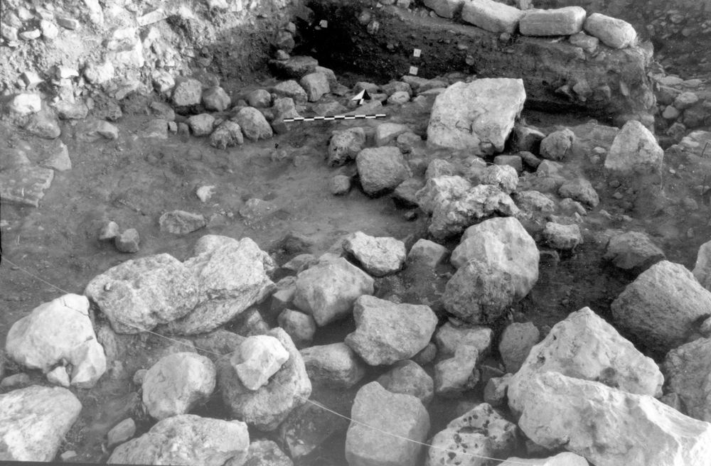
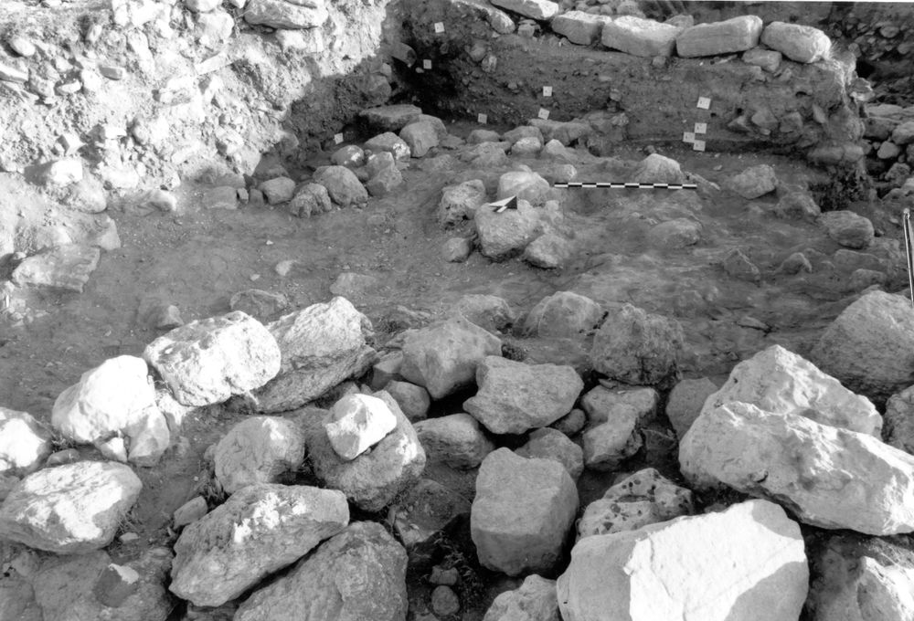
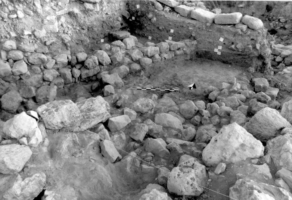
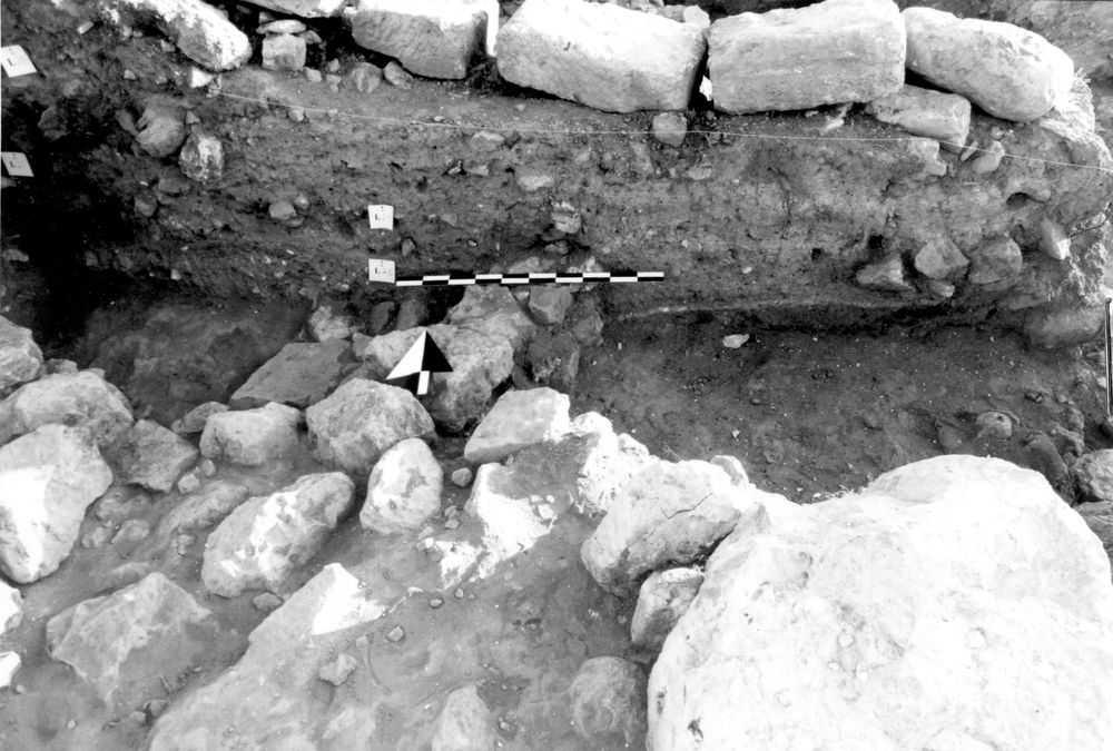
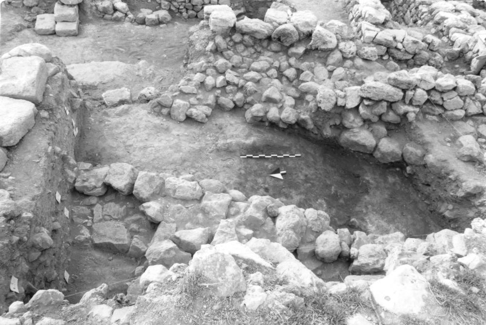
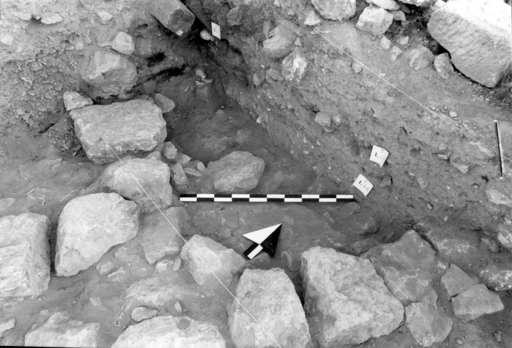
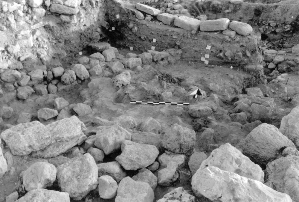
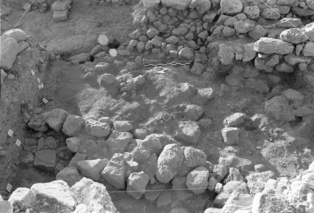
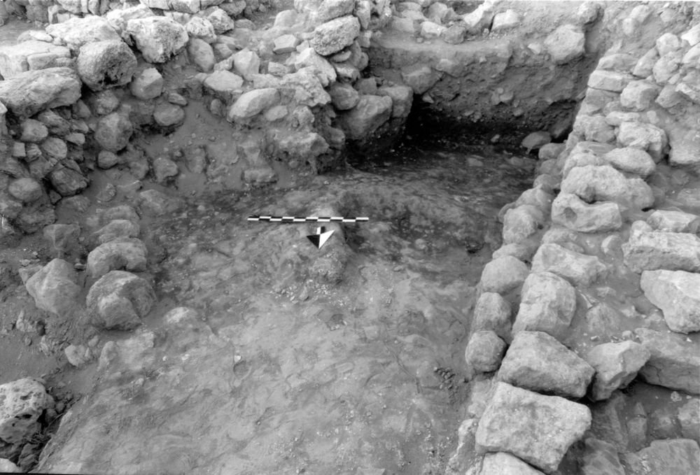
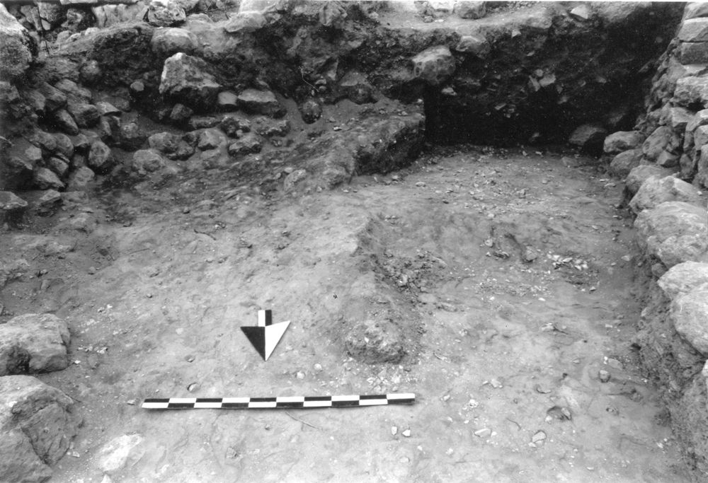
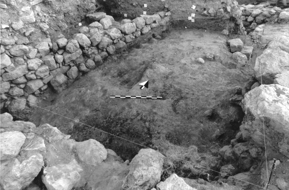
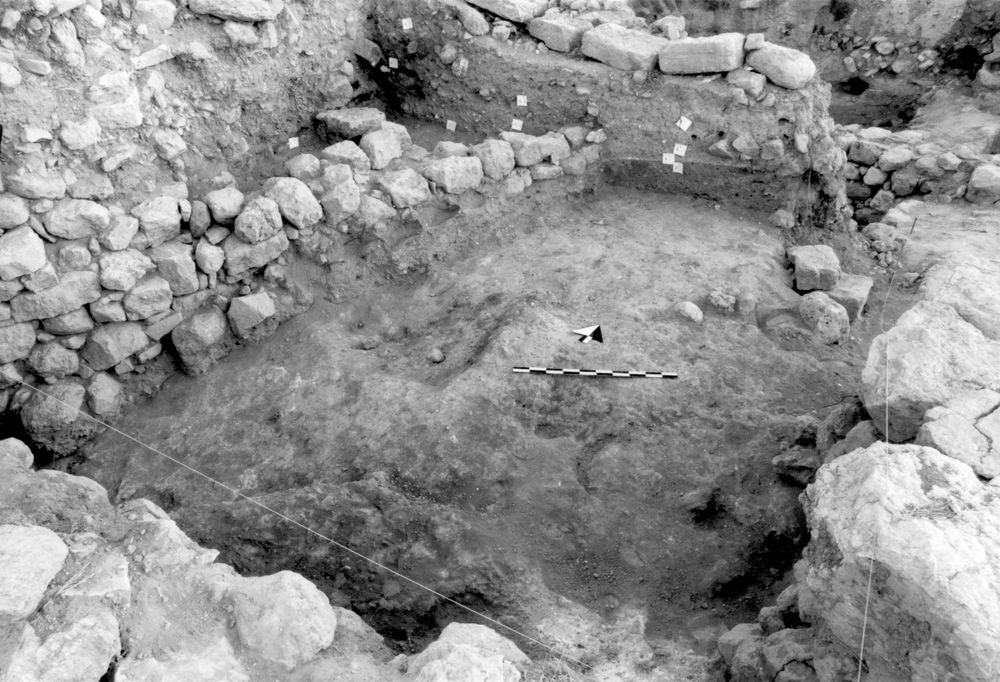
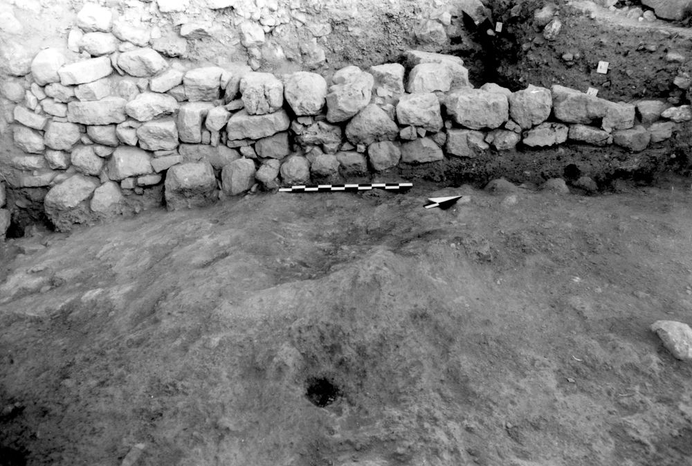
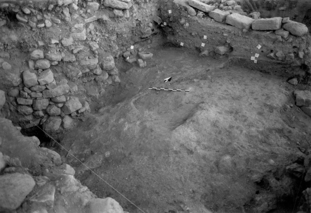
| Date | Photo Number | Subject | Photo |
|---|---|---|---|
| 04 Jul, 1994 | 94A70014 | Progress |
|
| 04 Jul, 1994 | 94A70016 | Progress |
|
| 12 Jul, 1994 | 94A70019 | Progress |
|
| 04 Jul, 1994 | 94A70015 | Progress along N Balk |
|
| 13 Jul, 1994 | 94A70020 | Progress |
|
| 01 Jul, 1994 | 94A70013 | Progress |
|
| 01 Jul, 1994 | 94A70013 | Progress |
|
| 06 Jul, 1994 | 94A70017 | Progress |
|
| 11 Jul, 1994 | 94234 | Progress (photo damaged) |

|
| 07 Jul, 1994 | 94A70018 | Progress |
|
| 14 Jul, 1994 | 94A70021 | Progress |
|
| 15 Jul, 1994 | 94A70022 | Progress |
|
| 15 Jul, 1994 | 94A70023 | 35 along 26 |
|
| 15 Jul, 1994 | 94A70024 | S end of 26 |
|
| 18 Jul, 1994 | 94A70025 | Progress |
|
| 19 Jul, 1994 | 94A70026 | Progress |
|
| 19 Jul, 1994 | 94A70027 | Elevation photo |
|
| 21 Jul, 1994 | 94A70029 | Progress |
|
| 22 Jul, 1994 | 94A70031 | Final |
|